|





|
|
Robert Campbell Highway (Yukon Hwy 4)
Road Log & Photo Album
by Murray Lundberg
A Guide to the Robert Campbell Highway
 The Robert Campbell Highway runs 583 kilometers (362 miles) from Watson Lake on the Alaska Highway to Carmacks on the North Klondike Highway. The Robert Campbell Highway is about 60% gravel as of 2018, and the road condition can vary dramatically according to recent weather and maintenance.
Built in the late 1960s as part of the federal government's Roads to Resources program, the highway was named for Hudson's Bay Company (HBC) fur trader Robert Campbell, who established the first HBC trading post in the Yukon at Frances Lake in 1842.
There are few services along the highway. Three notable but little-used roads intersect it - the Nahanni Range Road, the Canol Road, and the Frenchman Lake Road. Two communities, Ross River and Faro, are located near the highway, and fuel is available at both.
Unless noted otherwise, the photos below all show the view westbound. Most of the photos were shot during a leisurely trip in July 2018 - a series of 5 posts on the ExploreNorth Blog describe that experience.
Click on the images below to enlarge them
|
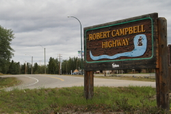
Km 0: Watson Lake - for more photos and information, see our Watson Lake page.
|
|
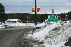
Km 0: in late March.
|
|
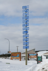
Km 0:
|
|
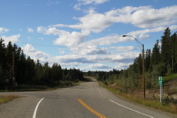
Km 10.1: the Watson Lake airport is to the left. If you have an interest in aviation, a visit and walk through the terminal is recommended.
|
|
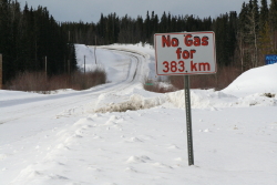
ca. Km 12: as you leave Watson Lake, a sign warns drivers that the next fuel is 383 km away (in Ross River). The range in the motorhome I was driving is over double that, so no problem. To do it on my motorcycle, I'd need to carry gas cans.
|
|
ca. Km 20:
|
|
ca. Km 24:
|
|
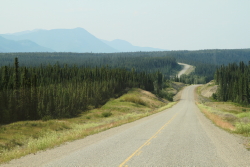
Km 44.1:
|
|
ca. Km 56:
|
|
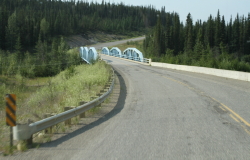
Km 57.3: Frances River Bridge
|
|
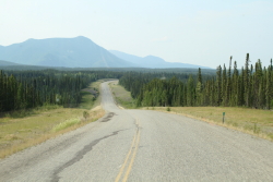
Km 64.0:
|
|
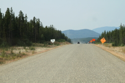
Km 72.0:
|
|
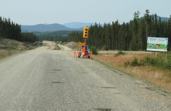
Km 73.0:
|
|
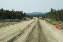
Km 73.5:
|
|
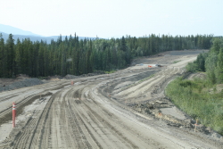
ca. Km 75:
|
|
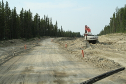
ca. Km 77:
|
|
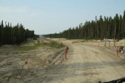
ca. Km 79:
|
|
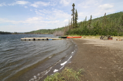
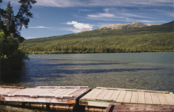
Km 81.3: access road to Simpson Lake Campground, 1.6 k, (1 mile) off the highway. The campground has 10 camp sites (2 pull-through), a kitchen shelter, a swimming beach, and a boat launch and dock.
|
|
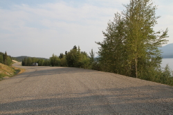
Km 92.0: Simpson Lake - a large pullout, and a small road leads down to the lake. The photo of the highway to the left looks east.
|
|
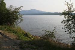
Km 92.0: Simpson Lake
|
|
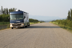
Km 107.6: looking east.
|
|
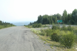
Km 107.8: Nahanni Range Road Rest Area
|
|
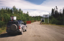
Km 107.8: Nahanni Range Road
The road was closed when we reached the junction on July 12, 2001, as seen in the photo. It's now open (2018), but signs warn of "no services; narrow, winding road; limited visibility; one lane bridges; and steep grades" as well as stating that "the use of chains is recommended." It was the reduced visibility due to forest fire smoke that killed my plan to drive the road in 2018.
|
|
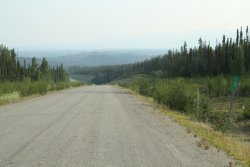
Km 108.0:
|
|
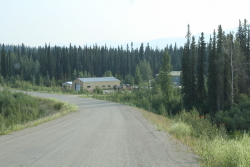
Km 110.5: Tuchitua Highways Camp
This government highway maintenance camp is shown on many maps as a community called Tuchitua, but there is no community and no public services there.
|
|
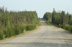
Km 113.8: in 2018, this was the end of pavement for westbound traffic.
|
|
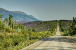
Km 124.5:
|
|
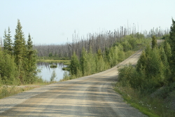
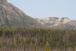
Km 126.6:
|
|
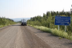
Km 134.1:
|
|
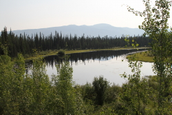
Km 169.8:
|
|
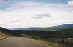
Km 170.1:
|
|
ca. Km 171:
|
|
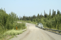
Km 171.5: Money Creek Bridge
|
|
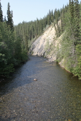
Km 171.5: Money Creek
|
|
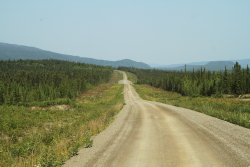
Km 175.2:
|
|
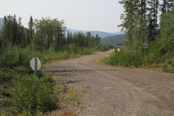
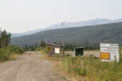
Km 190.0: Wolverine Mine Road - owned by Yukon Zinc, the Wolverine Mine was a high grade zinc-silver-copper-lead-gold underground mine which had on-site milling capabilities of 1,700 tonnes per day to produce zinc, copper and lead concentrates.
The Wolverine property encompassed 107 square kilometers, and was accessible either via a 26-km-long access road leading south and west from the Robert Campbell Highway or a 1,340-meter-long all-season gravel airstrip.
Yukon Zinc completed major site construction at Wolverine throughout 2009 and 2010. Mill commissioning commenced in late 2010 and operations started in 2011. In March 2012, commercial production was achieved and in early 2013, full design capacity was reached. The majority of the concentrate from Wolverine was trucked to the port at Stewart, BC.
Although there is 2-3 years worth of ore remaining, the Wolverine Mine was put on care and maintanence in January 2015 due to low market prices and company financial problems. In December that year, the Yukon government approved an updated closure plan that allowed the mine to fill completely with water. The government also required Yukon Zinc to install two cement plugs in the mine to prevent any of that water from leaking out. It was expected that the mine would be completely flooded by the fall of 2017.
In November 2018, the mine was sold to Phoenix Global Investments.
|
|
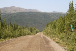
Km 190.0: this milepost is located just a few meters west of the Wolverine Mine Road.
|
|
ca. Km 220:
|
|
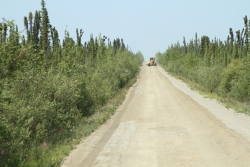
Km 230.0:
|
|
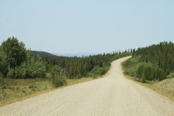
ca. Km 240:
|
|
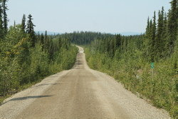
Km 253.8:
|
|
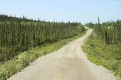
Km 266.0:
|
|
Km 291.6:
|
|
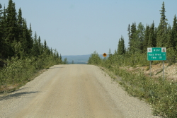
Km 301.4:
|
|
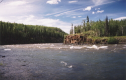
Km 302.8: Hoole River
|
|
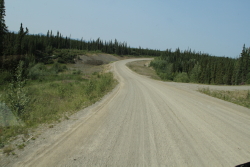
Km 312.4: Star Creek
|
|
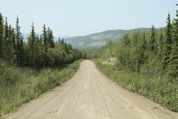
ca. Km 320:
|
|
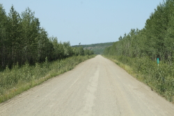
Km 338.0:
|
|
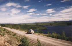
ca. Km 340: Bruce Lake with the St. Cyr Range in the distance to the south.
|
|
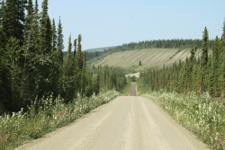
ca. Km 350:
|
|
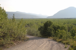
Km 354.5: South Canol Road Junction - for more photos and information, see our Canol Road page.
|
|
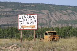
Km 362.7: Ross River Junction - for more photos and information, see our Ross River page.
|
|
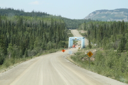
Km 364.4: Lapie River Bridge
|
|
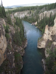
Km 364.4: Lapie Canyon
|
|
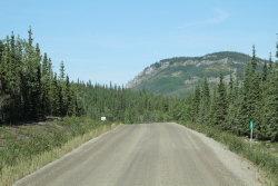
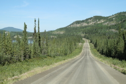
Km 366.0:
|
|
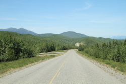
Km 371.6:
|
|
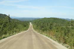
Km 375.4:
|
|
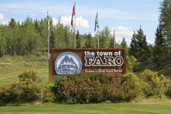
Km 413.9:
|
|
Km 414.3: Faro Junction - for more photos and information, see our Faro page.
|
|
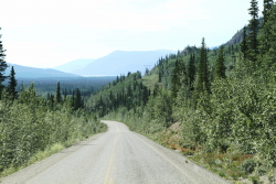
Km 455.6:
|
|
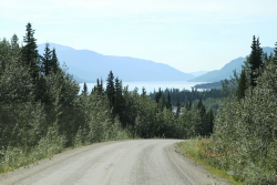
Km 465.9:
|
|
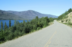
ca. Km 470:
|
|
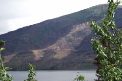
ca. Km 476: this photo was shot on July 31, 2011.
|
|
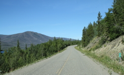
Km 480.0:
|
Km 543.3: Frenchman Lake Road This narrow, winding gravel roads leads to 3 campgrounds - Frenchman Lake Campground, Nunatuk Campground, and Tatchun Lake Campground - then intersects with the North Klondike Highway.
|
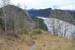
Km 555.7: Eagle Rock Rest Area and Sternwheeler Columbian Memorial - for more photos and information, see our Eagle Rock Rest Area page.
|
|
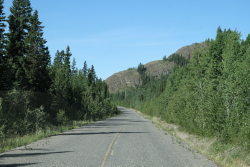
Km 560.0:
|
|
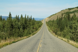
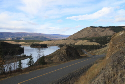
ca. Km 570:
|
|
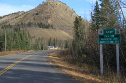
ca. Km 580:
|
|
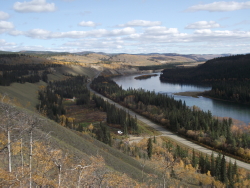
Km 582.0: looking east
|
|
Looking down on the Yukon River and the west end of the Robert Campbell Highway from the North Klondike Highway as it climbs Tantalus Butte.
|
|

|