Dateline: October 4, 2026.
Before I tell you about this adventure, I want to explain the new location of this post. The blog site at explorenorthblog.com has been hacked to the point of possibly not being repairable, so this is a temporary measure until I figure out a solution.
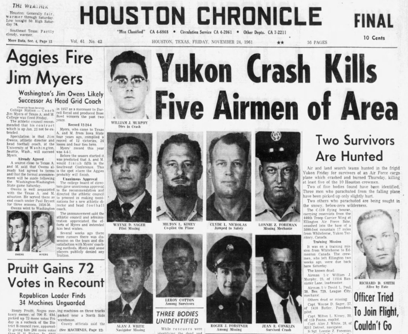
This post, with 44 photos, covers two days of hiking. The first day, on October 2, was an unsuccessful search for a route to the site of the crash of a USAF C-119 "Flying Boxcar" in 1961, near the Annie Lake Road south of Whitehorse. The hike on the second day, October 3rd, was successful and is mostly what this post will cover. You can read about the crash here.
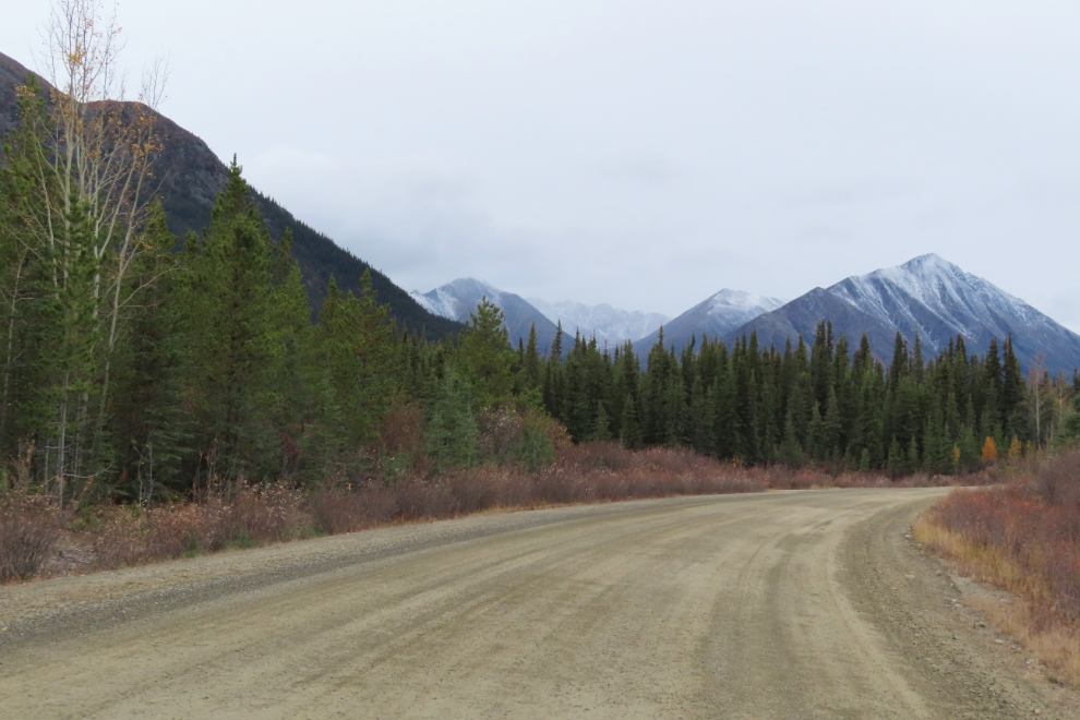
The first photo shows the pullout where the hikes began, at Km 11.2 of the Annie Lake Road. With flat light for photography and the temperature sitting at about +4°C, it wasn't a great day for this hike, but winter is rapidly closing in.

One person reported that there is a trail to the crash site, so it was an easy hike. Well, to start with there are many trails. This was the first of many junctions I would come to. I started with the one to the left, then stayed left at the next junction.
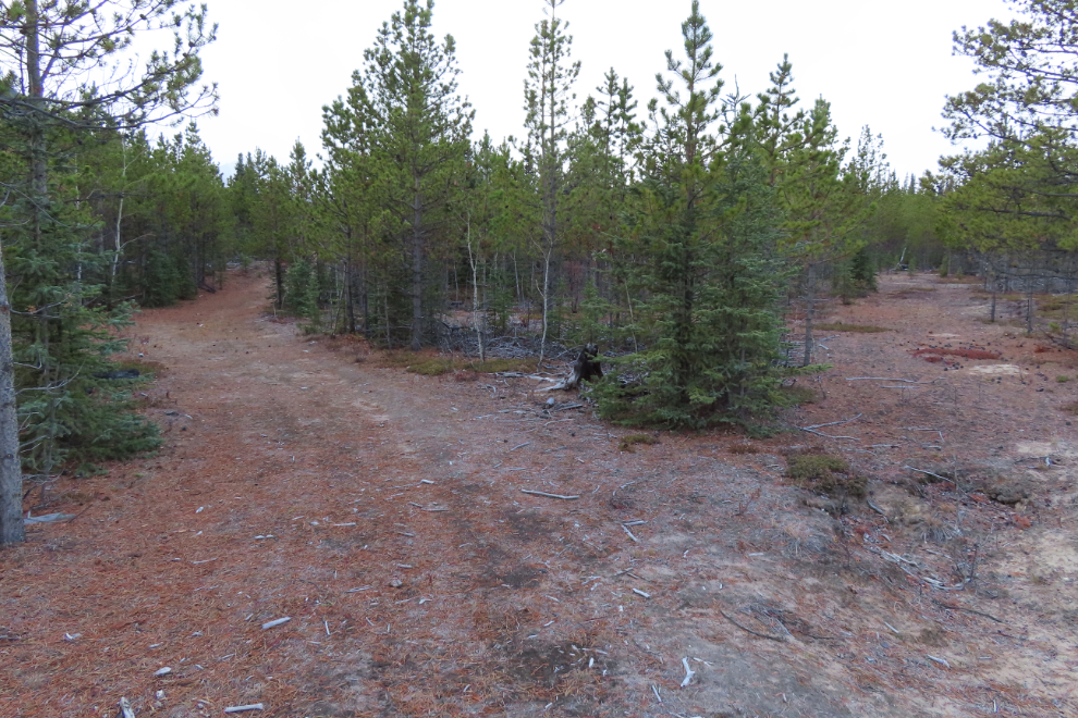
This trail very soon ended at a vast beaver-dam-created lake. All the mountains around me were getting rain or possibly snow.
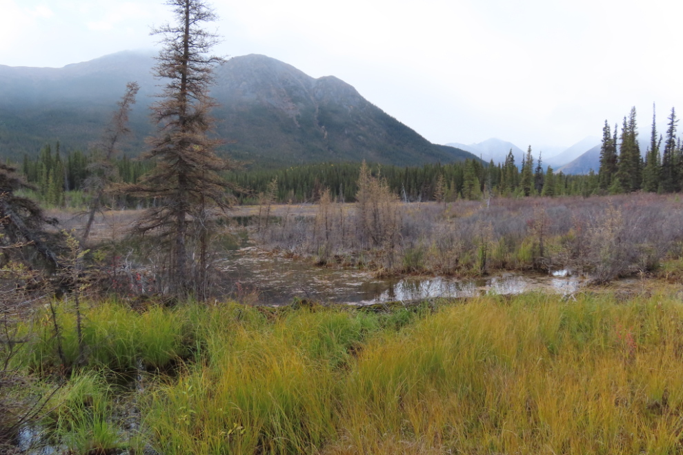
I backtracked one junction and took the trail to the right, which seemed to be the next most likely one. It would go into the pine/spruce forest to the right of the beaver lake.
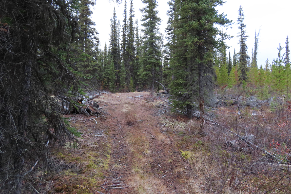
It was a pleasant enough walk, but soon felt that it wasn't going to go where I wanted to go, which was south. It ended at the Annie Lake Road. I took the road as a shortcut back to try again, and after 2.24 km of walking I was back at the Tracker.

There had been no trails leading to the south from that last trail, so I next took a much-lesser-used trail heading east (the left one in the next photo.
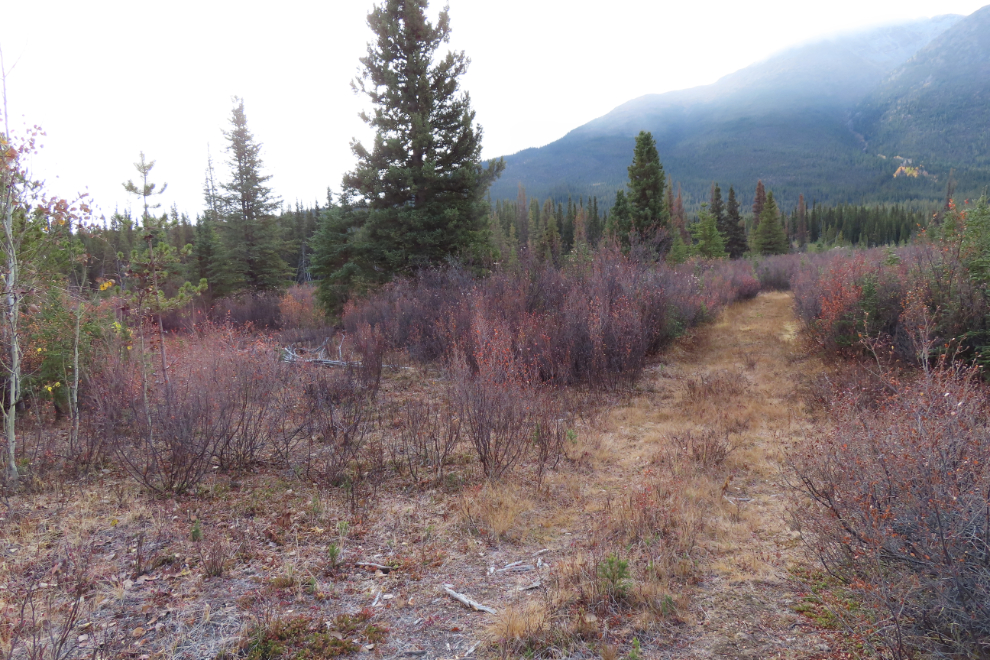
That trail eventually took me to a cut-line which was good. But that led me to water I couldn't get across.

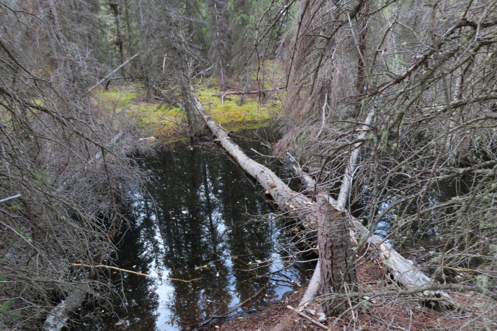
Much searching for a way across the water led me to a log that I expect would work for some folks, but since my injury my vestibular system doesn't allow such walks. After much more searching I had to give up on this entire network of trails to the east of the beaver lakes, ponds, and channels.
Back at the Tracker again, I was stumped as to where to go. I decided that this pullout must not be the right access, so walked back down the road, where I found some flagging tape on a very vague trail! The flagging soon ended, though, and the route took me to trails I had already tried, and more water. I walked further back on the road, but a few drops of rain hit me and when I looked back towards the car, a massive storm was about to hit me, and that rain was about 1 degree from being crystalline. I just made it before the deluge and screaming, icy wind hit. I gave up and headed home.
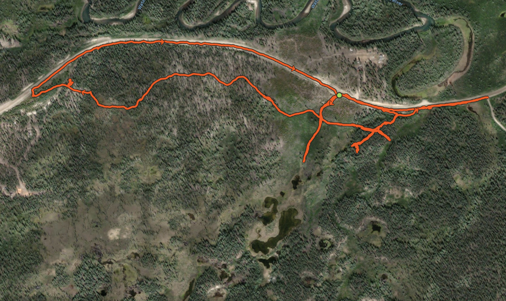
I'll conclude this day with a map of my route from my Strava page. Very little of what is now a vast area of water shows on any online maps, including this one. The four main dead-ends shown on the map all ended at water.
By 1:30 on October 3rd I was nearing "beaver heaven" to try again to reach the crash site. I was determined this time, prepared to wade through whatever marsh and/or water that was in my way.
Back at the main trail junction, I took the right turn again, heading off into the forest to the west of the beaver lakes.

As there were no trails leading off to the south, I just walked in that direction once the forest ground cover thinned out. This was particularly nice walking for a few minutes.

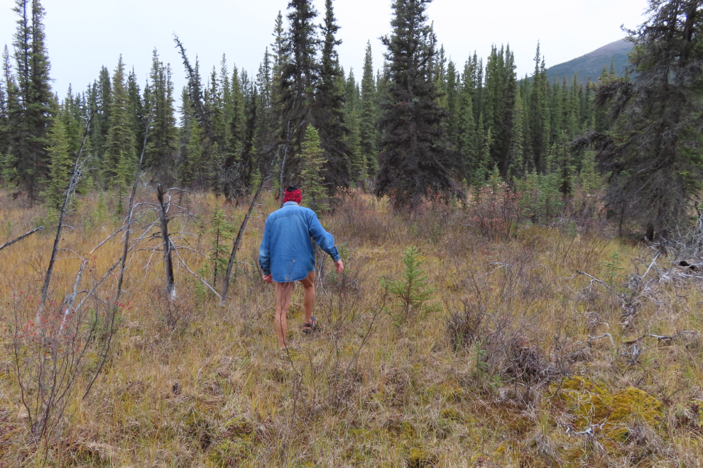
In just a few minutes I had reached a grassy area that could be wet. My plan for crossing water was very simple - take my pants off, and put on my sports sandals. I left my backpack on dry ground until I checked this out. This grass had water underneath and I sunk in about a foot, but still an easy crossing. I expected that the far side of that belt of trees ahead would be close to the crash site.
Reaching the other side of the forest, there it was, right ahead! From here I was going to get there if I had to swim!
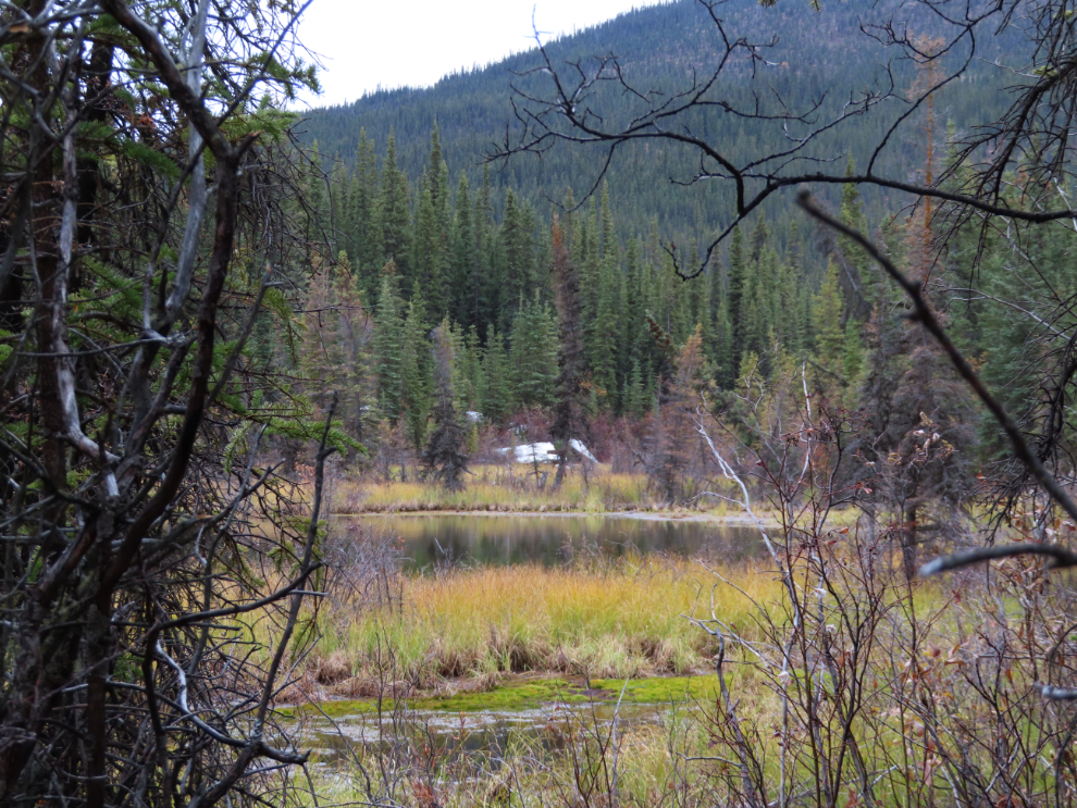
A network of beaver dams and ponds made the next section rather challenging. I don't remember how I actually got across there.
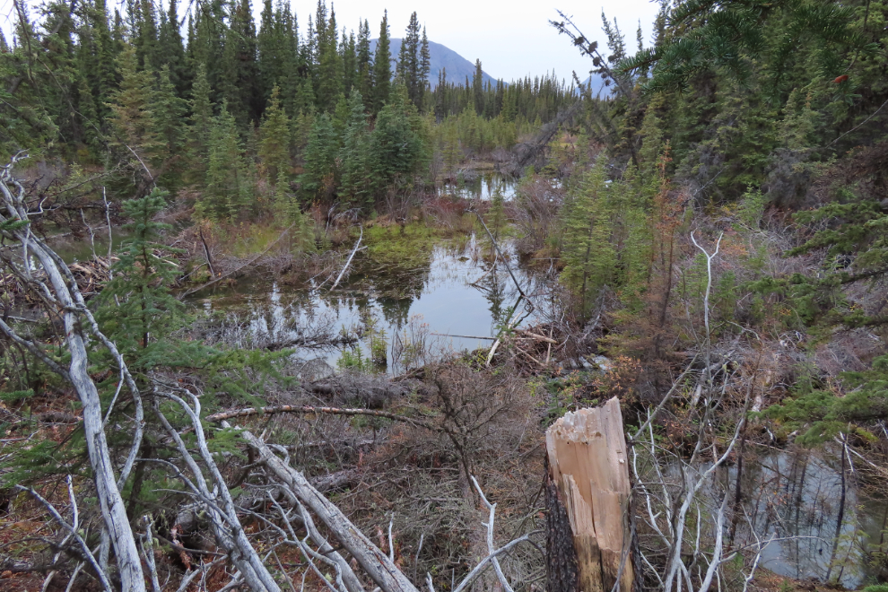
But then it was just a simple walk across, while being very careful to feel for unexpected holes.
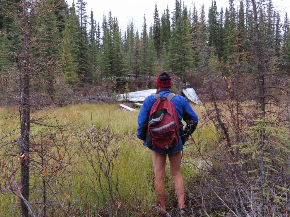
The deepest the water got was 3-4 inches above my knees.

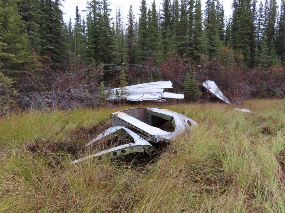
I couldn't yet identify any of the pieces, but I could spend as much time here as I wanted, and there would be plenty of photos for research when I got home.
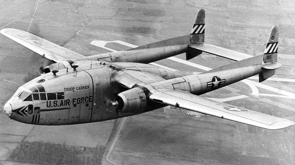
A Fairchild C-119C Flying Boxcar like the one I was approaching. It was registration 50-0145, s/n 10463, that crashed, on November 23, 1961. The aircraft had a wingspan of 109 feet 3¼ inches, and an overall length of 86 feet 5¾ inches - about 20% larger than a DC-3. See line drawings with the specs here.
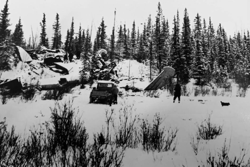
This photo was shot not long after the crash (Yukon Archives PHO 98/134, #570), looking from the same position I was first seeing it.
Looking back down to the route I had come across.
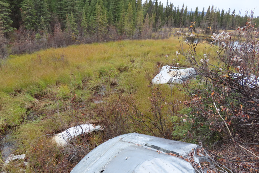
There are large pieces that I thought would be easy to identify, but some like this one so far elude me.
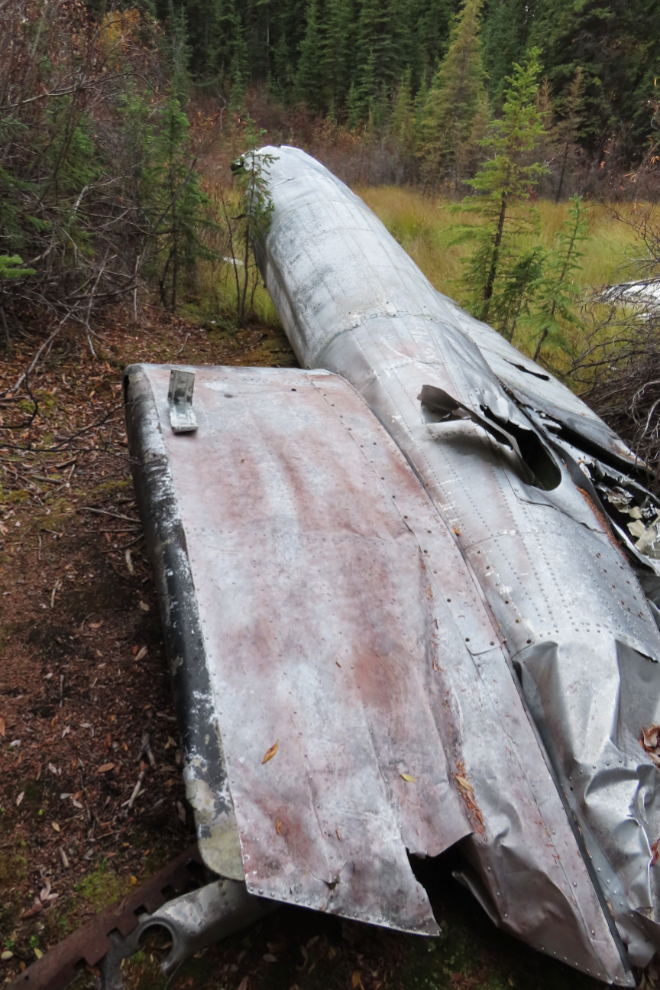
A tail boom was the only piece of sheet metal that was easily identifiable, by the large United States Air Force roundel on it.
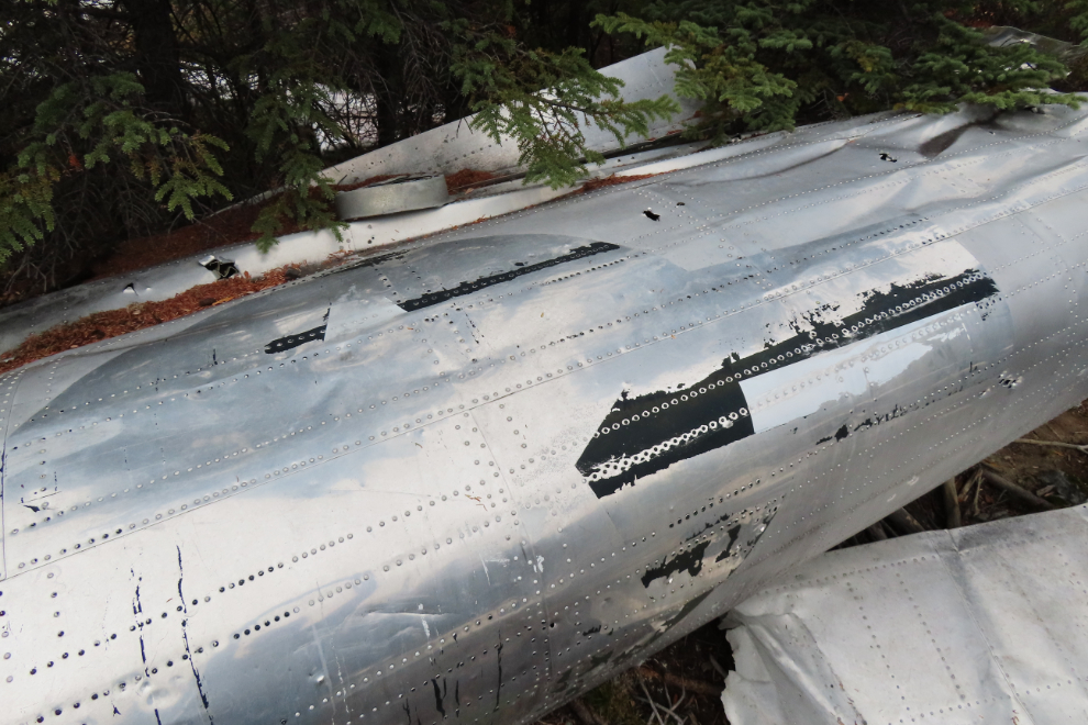
The tail boom is surprisingly intact given the force of the impact. The other tail boom broke off mid-air and of course made the aircraft uncontrollable. It's about half a mile up the hill - I didn't try to find it.
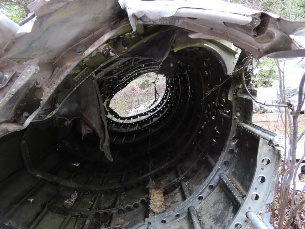
The only piece I found that has sort of a human element was the padded cover of a seat.
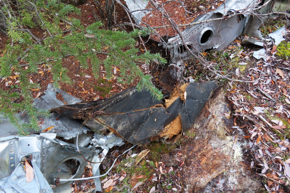
This is the starboard main landing gear assembly, providing a good look at the brakes. It was a brake that was seized on takeoff, got red-hot and then was retracted into the fuselage, that caused the plane to catch fire.

The last 3 numbers of registration 50-0145 were painted on the lower front of the fuselage.
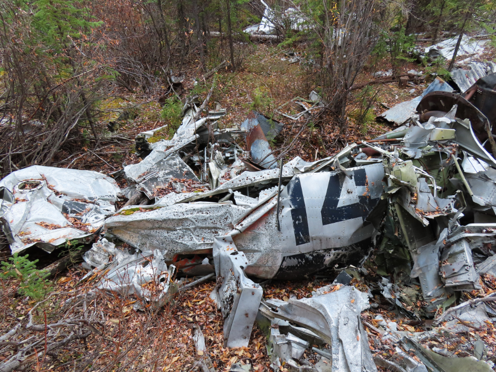
This panel with the last word of "U.S. AIR FORCE" visible, was on the fuselage right above the registration number.

The engines are the easily-identifiable pieces, but I took dozens of photos to try to figure out what is what.
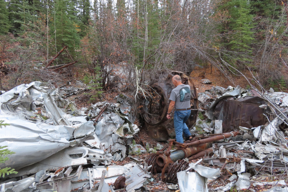
This appears to be a piece of equipment (a trailer?) that was being taken back after an exercise in Fairbanks.

An engine with one blade of the propeller still intact is perhaps the most impressive of what remains of a large, impressive aircraft. By this time I was very much aware that seven men had died in this crash. Three had survived by jumping with parachutes.
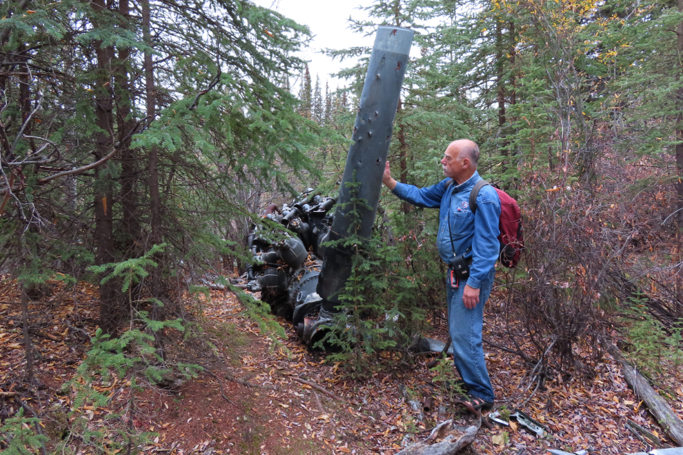
I was now happy that I had the site fairly well documented, and it was time to find a way back to the car. Two friends had been to the site, coming in via routes on this side of the beaver lakes. One mentioned that there was sporadic flagging tape along a path, so I climbed up out of the depression the crash wreckage is in, and went looking for a path, some tape, or perhaps both. First, though, there was a good view of this end of the beaver lakes.

I soon found the first flagging tape, and with a few blank spots, could follow it. There was often no sign that anyone had walked here in a very long time, though.

At the far right of this jumbled pile, there is some very faded orange tape.
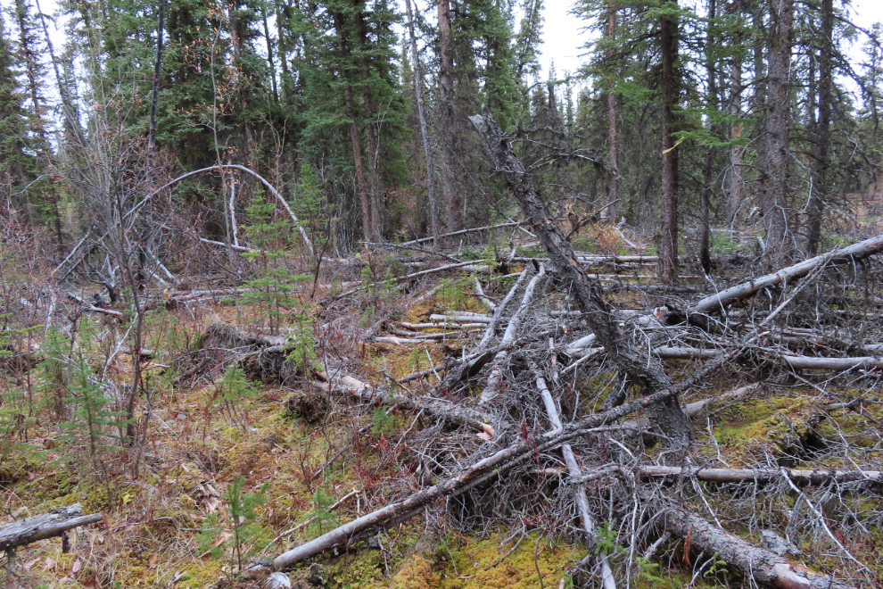
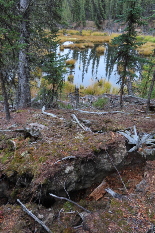
I came to a few thermokarst ponds, a permafrost feature I hadn't expected to see here. The surrounding soil slumping into them is common.
Sometimes it wasn't exactly clear which way I should go from the tape.
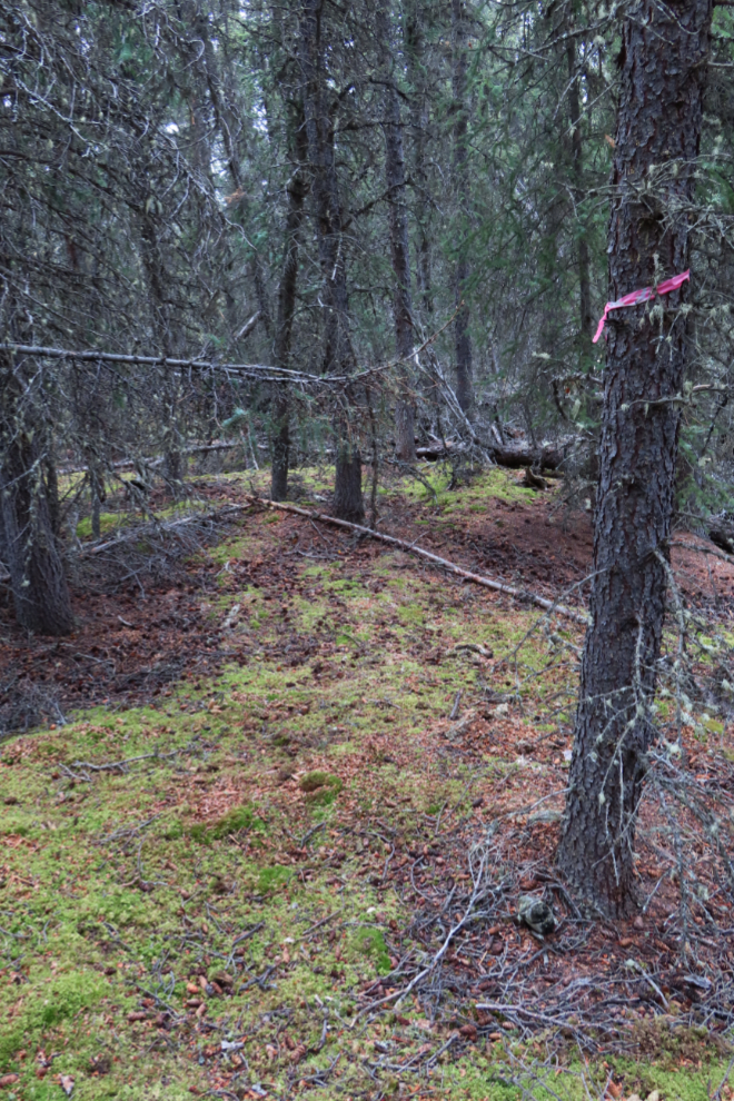
This was the last tape I saw.

The next photo is a re-creation of an event that I thank my guardian angel for. I came through that marsh, set up my tripod to take a photo like this, and discovered that my camera was gone!!! And my inReach!!! I was in shock. The strap they were both on must have gotten snagged on a branch and snapped a connector. There was no question of not going back to try to find them, as remote a chance as that probably was. But I had only walked about 10 feet when I saw them both, on dry mounds sticking out of the marsh. Incredible.
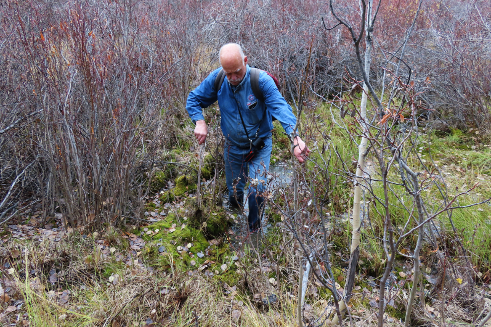
I came to what was probably an old wood-cutting road, and followed it south (the wrong direction, really) in the hope it would lead me across the lake we were close to the eastern shore of.

It did not lead me to a way to get across, and was thoroughly a dead-end. A lengthy dead-end.
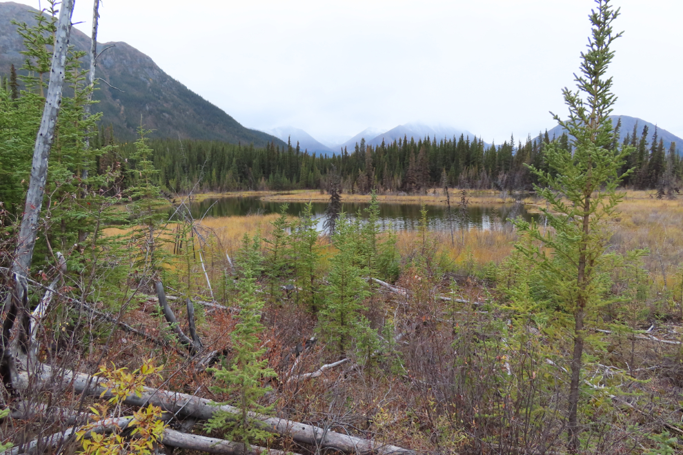
The amount of beaver activity was quite amazing. While I was taking the next photo, a large beaver-cut tree fell just to the right.

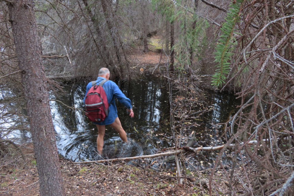
Another water crossing - this was just upstream of a log that some folks might walk across. This was the last of 92 photos I shot this day. Within a few minutes after making this crossing, I came to a trail I recognized as one of the dead-ends from the previous day. I was soon back at the car and on my way home.
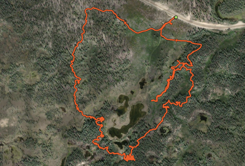
Here's the map of my route from this day's Strava page. The lengthy dead-end was an attempt to find a way around the large recently-created beaver lake that doesn't show on the map. If I do it again, I would definitely take the route to the west (left on the image, right from the parking area). I may go back (next year now), to see if I can find the other tail boom and stabilizer, so I have a complete picture.
If you'd like to go for a look, the crash site is at:
Lat: 60.371726
Lon: -134.952308
Or Lat: 60° 22' 18.2"
Lon: -134° 57' 8.3"
Please keep in mind that this is a memorial to the seven men who died, as well as a significant historic site. Be respectful, and take nothing except photos.
All of the men on board the aircraft were from Texas, most from Houston. On Friday, November 24, 1961, the day after the crash, the Houston Chronicle published an article that included photos of 9 of the men. It is one of the ten newspaper articles we have included in the story of the crash - see USAF C-119 Flying Boxcar Crash in the Yukon, 1961".