
|





|
|
Alaska Highway Postcards: Provincial News, 1942-43
An Explorer's Guide to the Alaska Highway
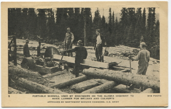
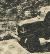 The set of 12 postcards seen below was the first mass-produced set of postcards showing the Alaska Highway as it was being built in 1942-43. They were distributed (and probably printed) by the Provincial News Company of Edmonton, Alberta. Unlike later "real photo" postcards of the Alaska Highway, these were printed in a conventional manner, with tiny dots of ink, as can be seen in the close-up look at one of the images to the right.
These photos were all shot between Whitehorse and the Yukon-Alaska border, one of the most scenic sections of the highway. Images noted as "WIB photo" are from the Wartime Information Board, and images noted as "NFB photo" are from Canada's National Film Board.
Click on each image below to greatly enlarge it and see both sides of the postcard.
|
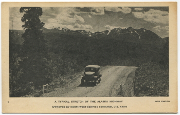
#1 - A typical stretch of the Alaska Highway.
Approved by Northwest Service Command, U.S. Army.
WIB photo.
|

|
#2 - Convoy truck hauling supplies to the head of construction on the Alaska Highway.
Approved by Northwest Service Command, U.S. Army.
WIB photo.
|
|
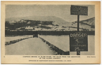
#3 - Campman Bridge at Slims River, 1565 miles from the beginning of the Alaska Highway.
Approved by Northwest Service Command, U.S. Army.
NFB photo.
The highway has been substantially shortened over the years by re-routing sections of it. The current Slims River Bridge is only 1023.6 miles (1647.4 kilometers) from the beginning of the highway (Mile 0 is at Dawson Creek, British Columbia).
|
|
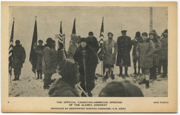
#4 - The official Canadian-American opening of the Alaska Highway.
Approved by Northwest Service Command, U.S. Army.
NFB photo.
The site of this ceremony, which occurred on November 20, 1942, is now on an abandoned section of the highway which is a popular hiking trail called the Soldier's Summit Trail.
|
|
#5 - Portable sawmill used by engineers on the Alaska Highway to make lumber for bridges and culverts.
Approved by Northwest Service Command, U.S. Army.
WIB photo.
|
|
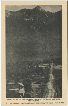
#6 - Trail of '42 on the Alaska Highway through bushland and muskeg.
Approved by Northwest Service Command, U.S. Army.
WIB photo.
|
|
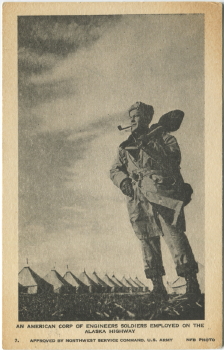
#7 - An American Corps of Engineers soldier employed on the Alaska Highway.
Approved by Northwest Service Command, U.S. Army.
NFB photo.
|
|
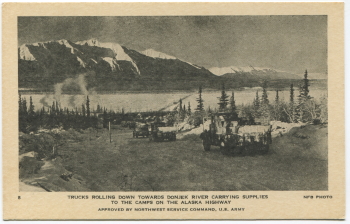
#8 - Trucks rolling down towards Donjek River carrying supplies to the camps on the Alaska Highway.
Approved by Northwest Service Command, U.S. Army.
WIB photo.
|
|
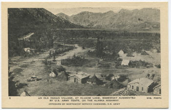
#9 - An old Indian village, at Kluane Lake, somewhat augmented by U.S. Army tents, on the Alaska Highway.
Approved by Northwest Service Command, U.S. Army.
WIB photo.
As well as being an Indian village, this was also a gold mining service community called Silver City or Kluane. Although most of the land is now privately owned, it's the Yukon's largest ghost town, with many buildings remaining.
|
|
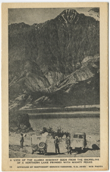
#10 - A view of the Alaska Highway seen from the shoreline of a northern lake fringed with mighty peaks.
Approved by Northwest Service Command, U.S. Army.
WIB photo.
|
|
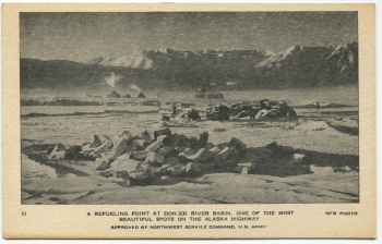
#11 - A refueling point at Donjek River basin, one of the most beautiful spots on the Alaska Highway.
Approved by Northwest Service Command, U.S. Army.
NFB photo.
The Alaska Highway was commonly called the Alcan Highway, and due to the number of abandoned fuel barrels along it, as seen in the foreground, that was often changed to the "Oilcan Highway".
|
|
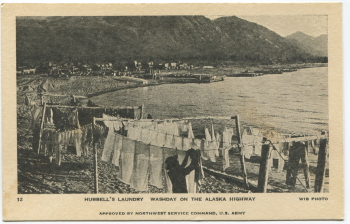
#12 - Hubbell's laundry, washday on the Alaska Highway.
Approved by Northwest Service Command, U.S. Army.
WIB photo.
|
|

|
