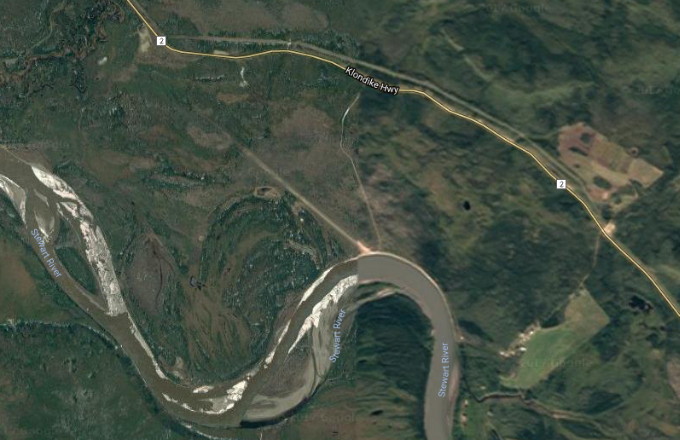
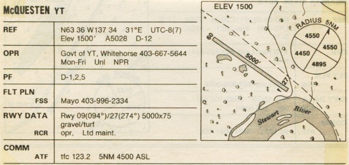
The McQuesten Airport is located beside the North Klondike Highway, with no communities nearby, and no facilities. The airport is at 63° 36' 00" N, 137° 34' 00" W, at an elevation of 1,500 feet. There is a single gravel/turf runway, 2,800 feet x 75 feet.
Google Earth - May, 2005. Click on the image to open an interactive map in a new window.
The airport image below is from the Canada Flight Supplement airport guide of October 1988 - no longer valid as flight information.