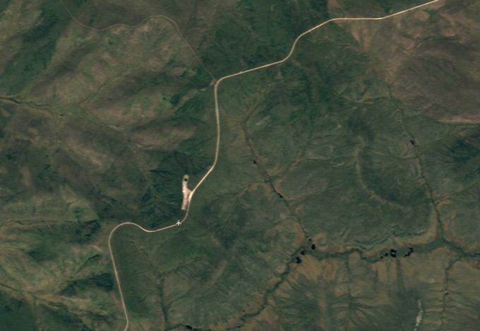
The abandoned Dempster Highway Mile 203 Airport is located beside the Dempster Highway at Km 324.5, with no communities nearby, and no facilities. The Eagle Plains Lodge is 44 km (27.3 mi) north. The airport is at 66° 07' 18" N, 137° 14' 34" W, at an elevation of about 2,000 feet. There is a single gravel runway, 2,500 feet x 60 feet.
Google Earth - click on the image to open an interactive map in a new window.
The airport image below is from the Canada Flight Supplement airport guide of October 1988 - no longer valid as flight information.