Dateline: November 15, 2026.
On Monday, November 9th, I hiked from the Alaska Highway down to Miles Canyon, then along the Yukon River to the historic townsite of Canyon City and back. The hike totalled 7.24 km (4.5 mi), with 141 meters (462 feet) of elevation gain. I'm hiking pretty much every day now, but in the blog I'll just tell you about ones that are special for one reason or another. This one had a wonderful feel to it, with a light snow falling and not another person in the area. You can see details about this hike on my Strava page, and can see all my hikes by following me there.
I'll start with a map. There is a vast network of trails along the river in this area, with many options that are used year-round. The trail was a bit icy so I didn't use the one right along the canyon edge - I'll save that for when there's a good layer of snow on it.
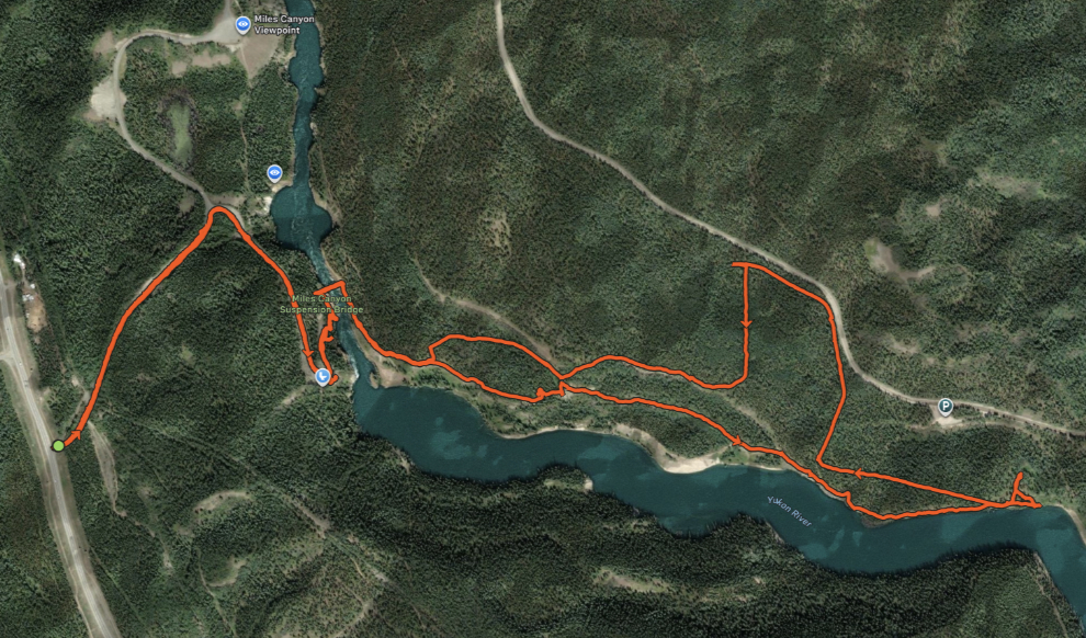
The hike down from the highway on Miles Canyon Road, which is closed in the winter, is 1.2 km (0.7 miles) with a 66-meter (217 feet) drop in elevation. Along the road I met two people leaving, which pleased me as I probably now had the trails to myself. Arriving at Miles Canyon, I knew this had been a good choice - it had such a peaceful feeling.
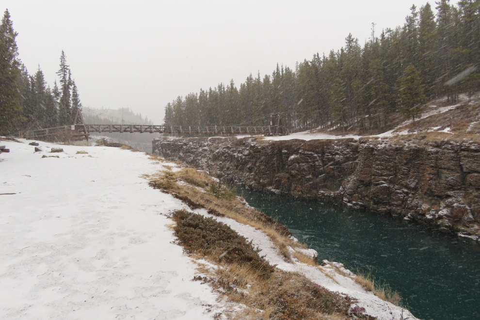
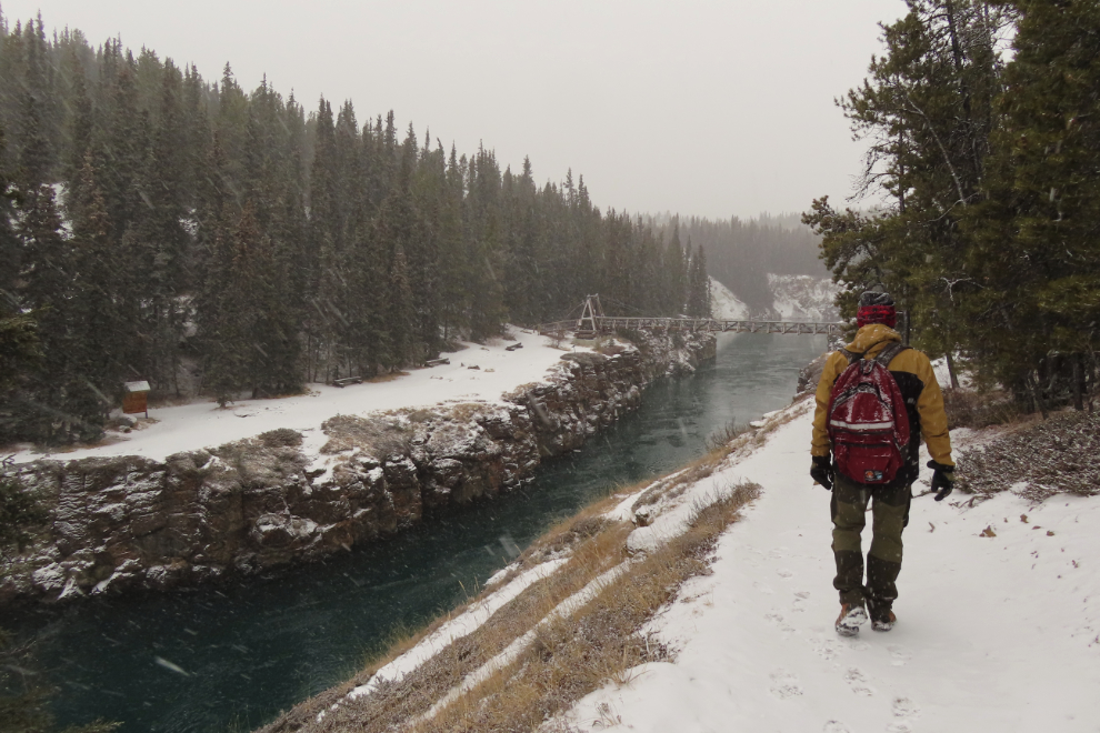
Looking up the river to the head of the canyon.
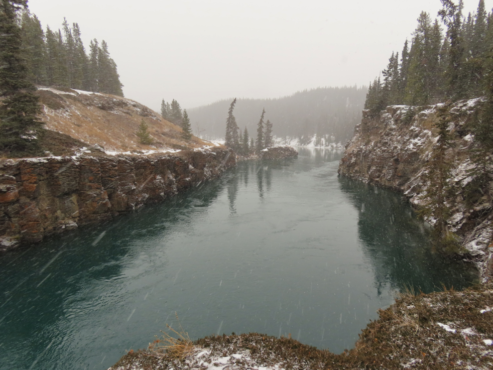
The canyon is crossed on the 85-foot-long Robert Lowe Suspension Bridge, which was built across the narrowest and most dramatic part of the canyon in 1922 as a visitor attraction. It was named after a pioneer Whitehorse businessman and politician; as well as being a major promoter of the bridge project, Robert Lowe was involved with some of the Whitehorse copper mines, owned the Commercial Hotel, was elected as the Whitehorse representative to the Yukon Territorial Council in 1902, and in 1909 became Speaker of the Council. It was 12:38 when I started across the bridge.
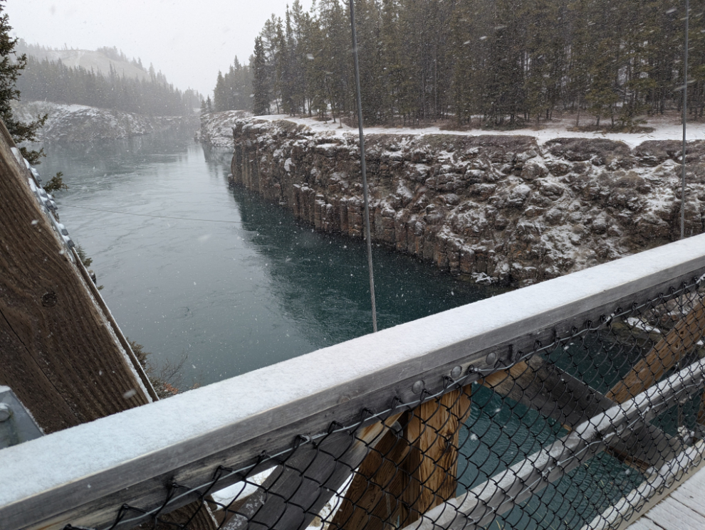
Going up the river on the east side, there is an Upper and a Lower trail. The trail was a bit icy so I chose the Upper one, away from the canyon edge.
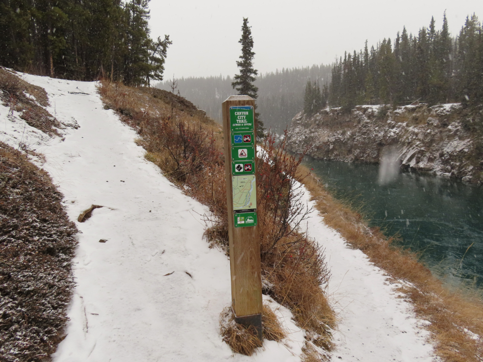
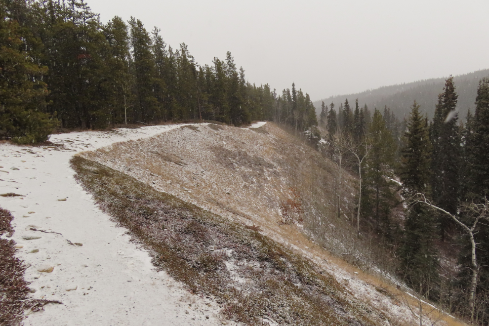
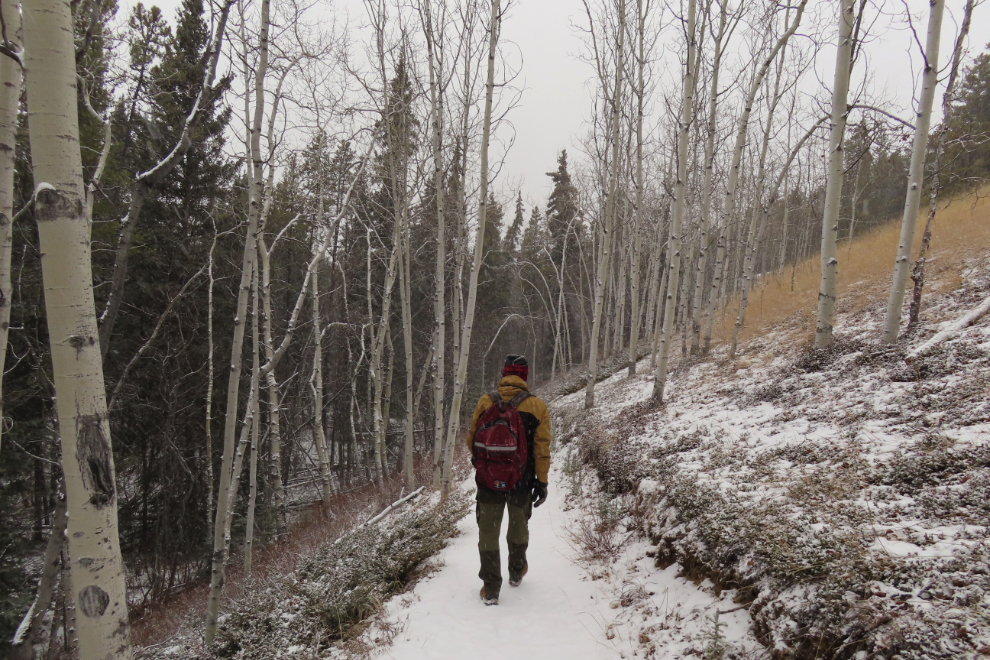
The Upper trail has a few hills and goes across some very interesting terrain.

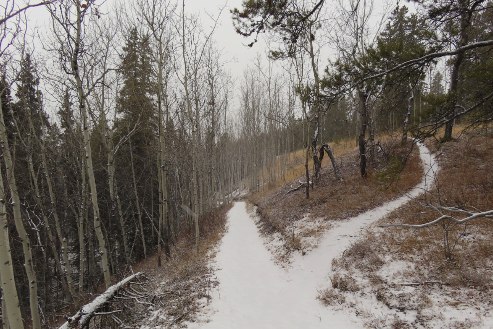
At 1:03, 25 minutes from the bridge, I reached a junction of the Upper and Lower trails - this is looking back at it.
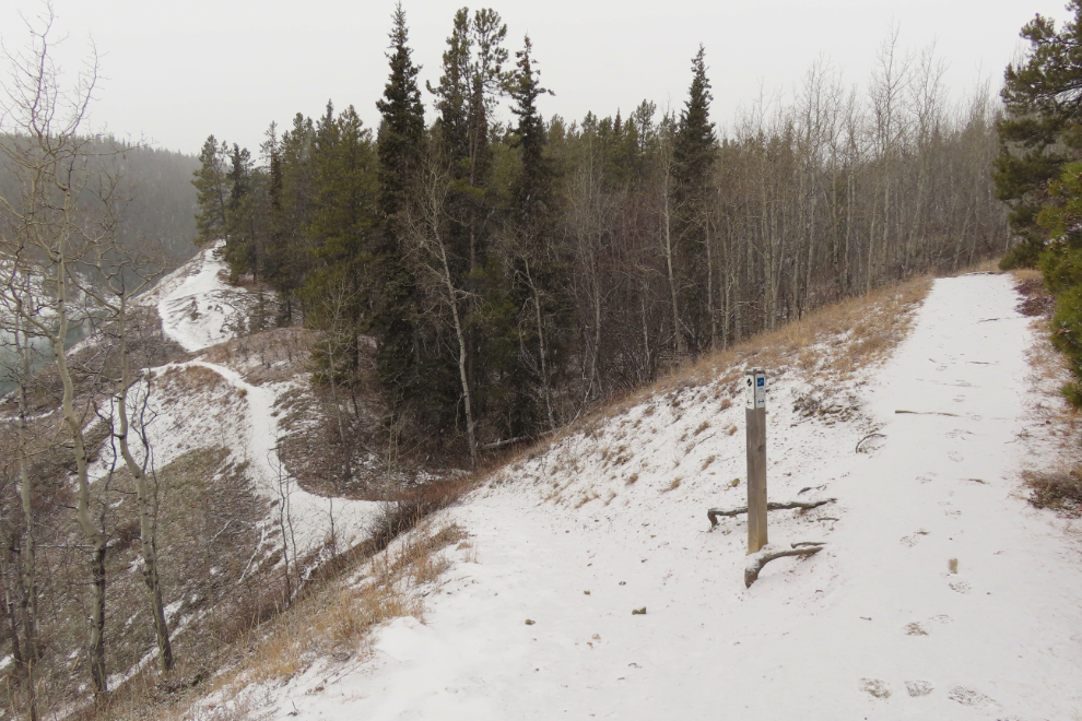
It's nice to get the two perspectives, away from the river and right along it.

At 1:15 I reached the Canyon City townsite. During the Klondike Gold Rush, Miles Canyon was the most dangerous part of the Yukon River. From this spot where it was easy to get ashore, two tramways were built over the winter of 1897-1898 - one on each side of the river - to portage freight around the rapids. The North-West Mounted Police opened a detachment at Canyon City to ensure that people used the tramways unless they could prove they had the boating skills to make it through the canyon.

Once the White Pass & Yukon Route railway reached Whitehorse in 1900, there was no longer a need for the tramways, so the buildings at Canyon City were disassembled and moved downriver to more lucrative locations.
Norman Macaulay, a 28-year-old businessman from Victoria, BC, owned the Canyon & White Horse Rapids Tramway Company on this side of the river. This reproduction tram car is parked next to the site of the company stable, of which only a depression remains.
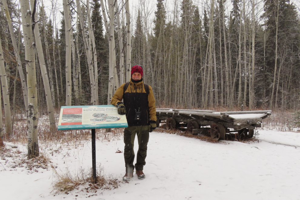
Little remains at Canyon City today, but a 40-page government brochure, "From Trail to Tramway: the Archaeology of Canyon City," tells the site's story.

I only stayed at Canyon City for 15 minutes - I've been to the site many times and know it well - then started back. I decided to walk back on the tramway route, on the right, at least to start.

There are trails everywhere in the forest along the river. Six minutes from Canyon City, the tramway route goes off to the right on a gentle grade while a shortcut goes straight. I was in no hurry.
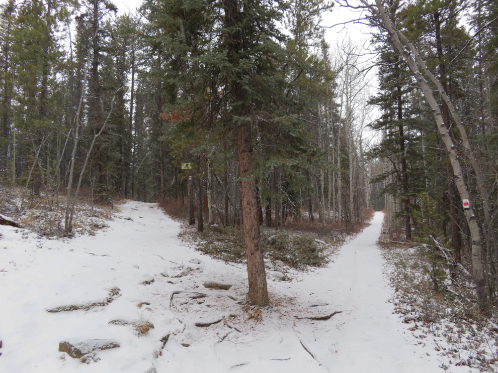
The next photo looks back at one of the largest cuts required to build the tramway. The tramway route on the west side of the river was much more difficult to build.

After about 15 minutes I left the tramway route and took a trail along a survey cutline back toward the river. That took me into some really pretty country.
At 2:10 I was back in the heart of Miles Canyon and stopped for a few more photos. That was 90 minutes round trip from the bridge to Canyon City and back.
The canyon, a large panel with trail information, and the stairs back up to the parking lot and road.

Up the road a few hundred meters, I made a bit of a detour to climb a little ridge that provides a particularly nice view of the river right above the head of the canyon.

This is a hike that makes for a wonderful outing in any season - in mid-winter some of the hiking trails become popular ski trails.