Dateline: November 12, 2026.
After finally finding the mouth of Cowley Creek on November 3rd, as described in my last post, I was pretty motivated to see much more of the creek. When I got home from the 13.85-km hike that today's post describes, I titled it "Cowley Creek extreme" on my Strava page because of the combination of distance and conditions (including 2 creek crossing and 470 meters in elevation gain). This was the second-longest hike of a year in which I've done 8 hikes of over 10 km, but in 2025 my longest was just over 8 km and in 2024 it was only 7 km. This may be the 2nd-longest since my injury in 2019, but changes in technology don't allow me to track that.
Anyway, doing this hike a few days after my 76th birthday, I'm sticking with "Cowley Creek extreme."
In the late afternoon of Wednesday, November 4th, I did a reconnoitre of possible routes into the valley that would provide the access I needed, and up the ridge to the north of it. It was late enough in the afternoon that I brought a very strong headlamp so I could get home whenever (sunset was at 5:45).
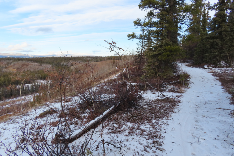
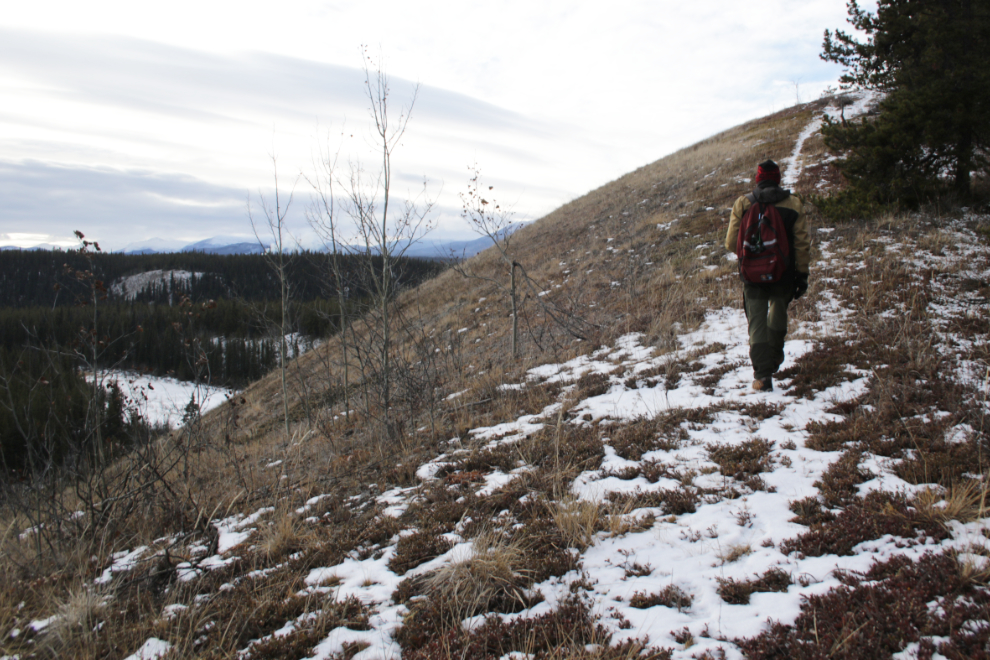
The first photo is from that test hike, which was 7.1 km long. It shows the marshy valley and dry ridge from a little trail off to the side of the main one, known as the 3 Benches Trail.

On the map I marked three possible routes down into the valley - this was the first and I thought most likely. I headed home fairly confident in the success of the next day's adventure.

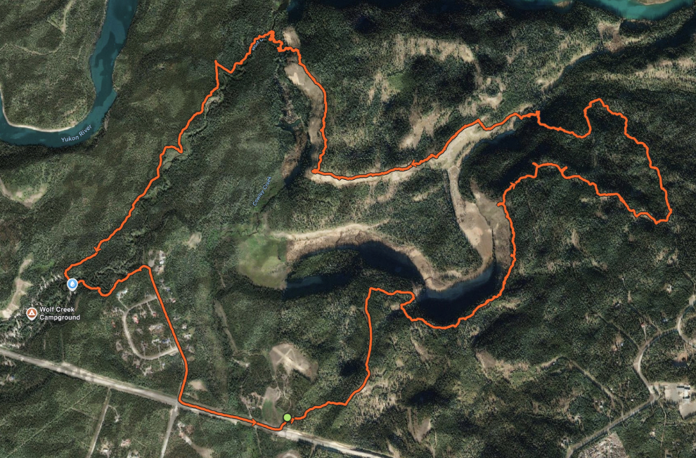
Okay, with that stage set, on to the hike on Thursday, November 5th - the map below shows the route. I left the car at 11:21.
The first photo was shot 45 minutes from the car. The small path seen three photos above can be seen to the left of the main trail, the 3 Benches Trail, which is used by ATVs.
The Mount Sima ski area about 10 km off to the west.

This amazing beaver dam, hundreds of meters long, crosses the entire valley.


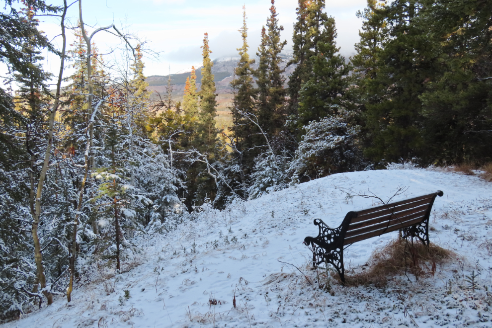
I think this is the second of the 3 benches the trail is named for - it's at the top of a steep hill.
The trail leading off to the left drops steeply down on its way to a wood-cutting road that leads right to the Yukon River.

A look back at the trail, with the trail to the river now on the right.
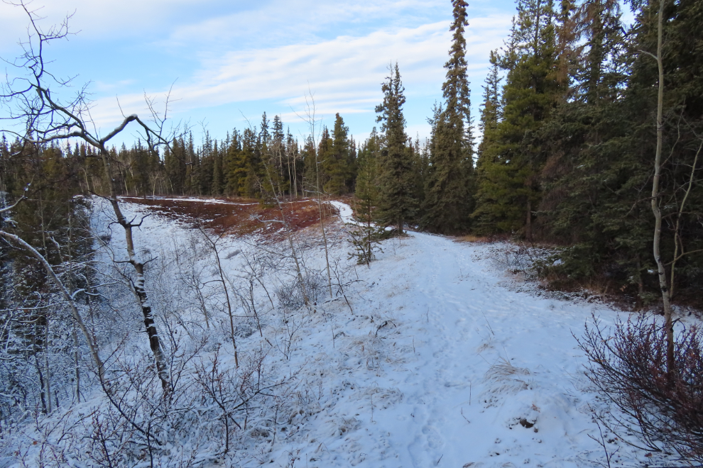
Half-way to the river, another wood-cutting road led off to the west, the direction I wanted to go.

This road soon turned into the perfect exploring trail, wandering up through very pleasant country towards who-knows-what! It was now 1:00 pm.
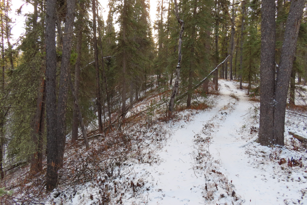
Ten minutes later, the trail ended at an area where a whole lot of small trees had been cut but not collected.
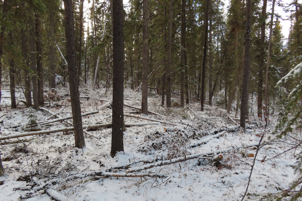
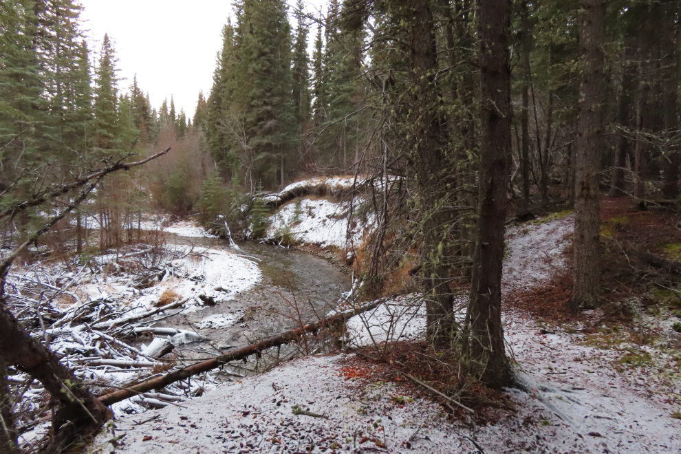
That trail had taken me much higher than I needed to be. The off-trail route down to the valley I could see through the trees wasn't very far, though. In only 10 minutes I came to a long-abandoned road and then a creek that clearly drained the marsh I had been looking down on for years.

The creek had to be crossed, and there was only one way to do that.

The valley was as lovely as I had expected, and the bare ridge I was after was soon in sight.

I was surprised to find a trail going steeply up the slope. Little used, it often disappeared, but it was almost certainly made by humans. The next photo looks back at the route I had just come.

I was extremely happy now - after wondering for years what this ridge looked like, I was there, at 1:58. This was the view to the northeast, with the Yukon River about 500 meters away. There's pretty much nothing manmade in that direction for almost 200 km.
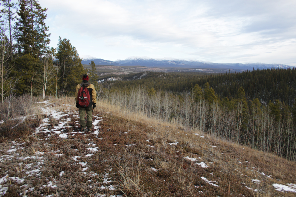
A fairly steep climb a minute later.
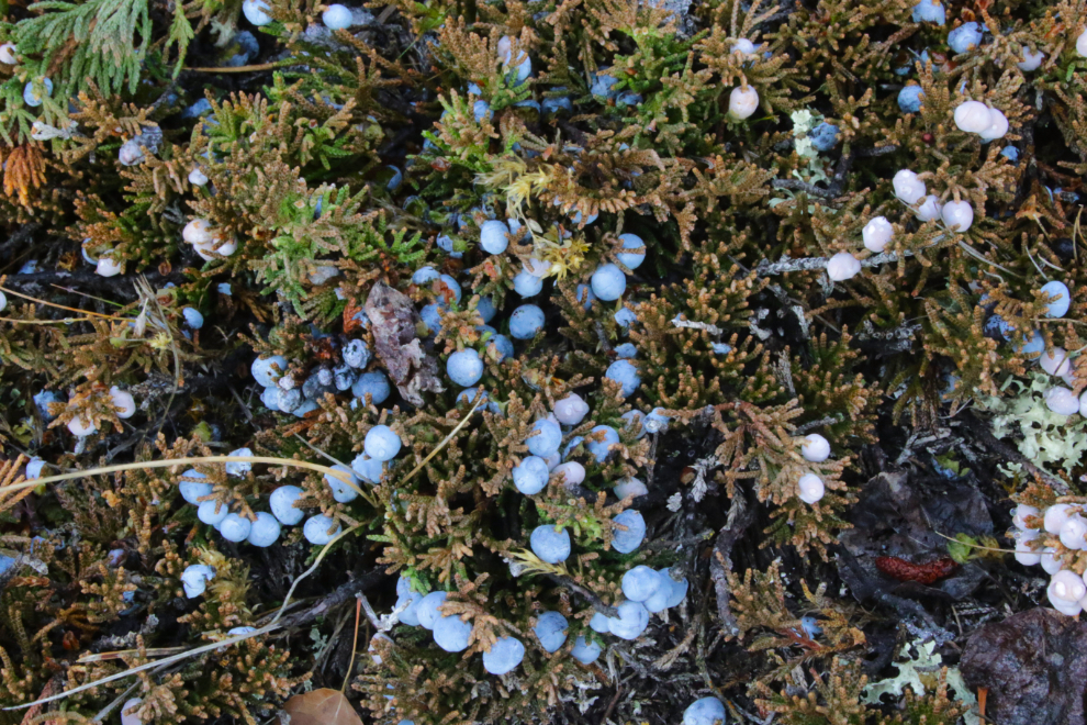
That took me to an area with an incredibly rich and large patch of juniper berries.
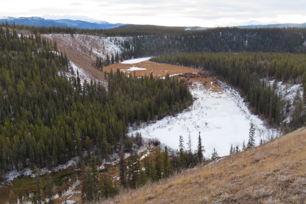
Near the top of the ridge at the upper left in the next photo is the narrow trail that started this story.
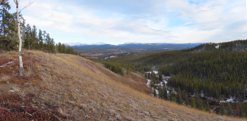
A panorama looking to the northeast again, at 2:05.
Near the start of the day's hike I had followed the tracks of a wolf for a couple of kilometers, and on this ridge I was following more tracks of a wolf about the same size.
A detail of the main map shows that the ridge has some breaks in it.

The next photo shows the descent and climb across the break at the bottom left of the map above.
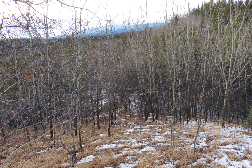
At 2:29 the Yukon River was in sight, and my wonderful ridge walk was nearing an end.

At 2:36, being above one of the many marshes on Cowley Creek was a sign that it was about time to look for the best place and route to descend to the creek.
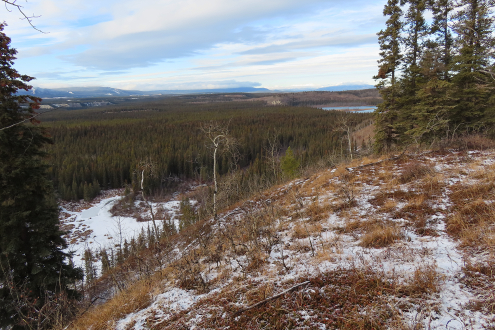
At 2:49 I was directly above where I thought an accessible section of the creek would be.
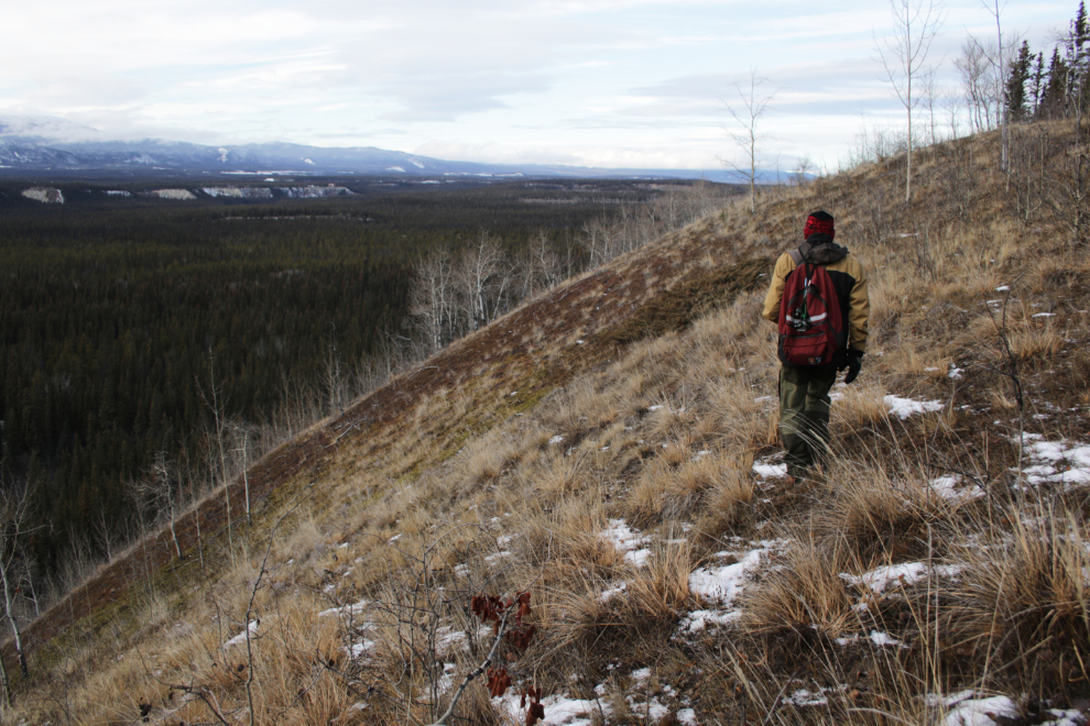
I dropped a pin on my map (I was at the blue dot on the right) as a backup resource. The mouth of Cowley Creek is not where it's shown on the map, it's immediately to the right of the "Wolf Creek" text.

The slope down to the creek reached a grade of 51% so took some careful navigation! And the creek wasn't as accessible as I had hoped - it was another area with extensive storm damage.


At 3:26, though, there was the mouth of Cowley Creek, with Wolf Creek pretty much hidden behind the driftwood pile.
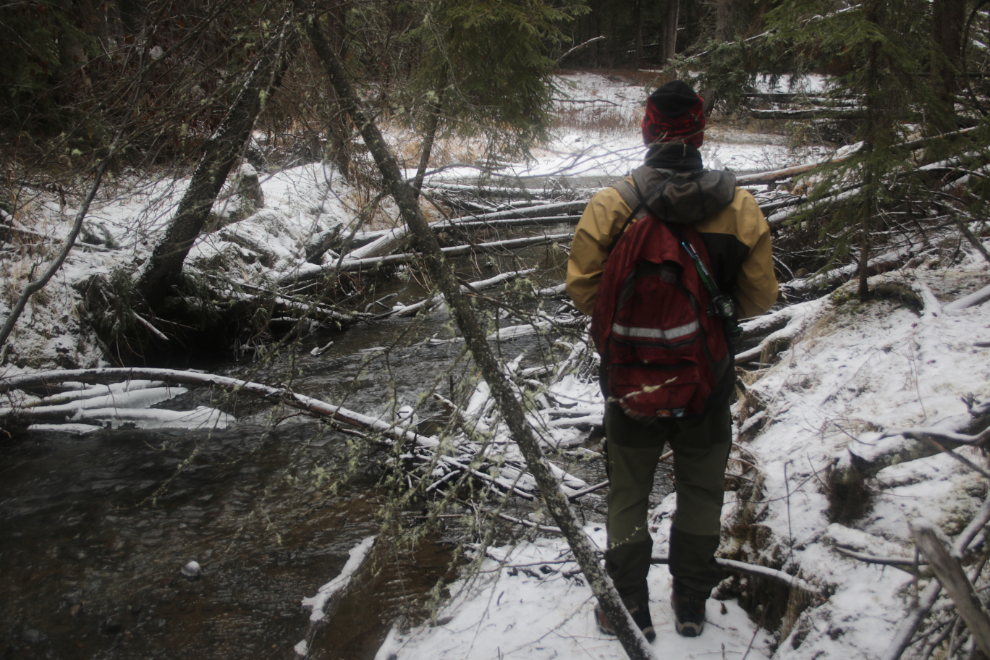
Here's a better view of the mouth of Cowley Creek.

The next crucial step was to find a good crossing of Wolf Creek. The next photo looks back up Wolf Creek with Cowley on the left.

My needs were simple and I didn't have to look far. I wanted to see the bottom and have accessible banks on both sides. At 3:38 I went across and soon had my boots back on and was headed back to the car - a few kilometers away.

I only shot one more photo, along Wolf Creek near where I had searched unsuccessfully for the mouth of Wolf Creek - the Adventure was over and this was just a long walk.
Walking past Fireweed Drive on the way back to the car, it occurred to me that it only would have added another few hundred meters to the hike if I had walked right from my front door. In the end the stats were pretty cool - 13.85 km, 20,494 steps and 470 meters of elevation gain.
It's so amazing that we can do a legit wilderness hike from my front door, a few minutes drive from downtown Whitehorse. Yes, this is "The Wilderness City" - and I am so grateful to have found this place to call home 41 years ago.