Dateline: August 30, 2026.
On Thursday, August 28th, with good weather forecasts for both Whitehorse and Skagway, I drove to the White Pass to hike up to Bryant Lake. I had made this drive two weeks before, but the weather at Fraser was awful, with the trail route hidden in cold clouds. I first discovered Bryant Lake in 2013, and there are four blog posts about hikes there, including a late-winter one. It's often called Fraser Lake, but that's not correct.
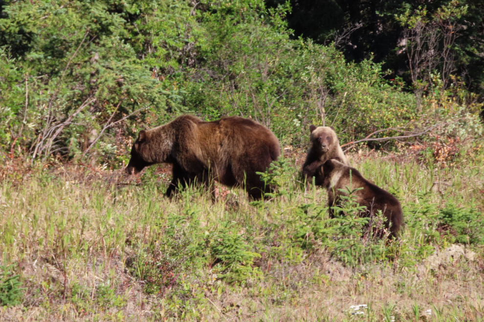
The day started very well with a grizzly and her twins feeding beside the highway. I stopped about 100 meters from them and shot a few photos with 300mm of zoom. As you can see from the first photo, they were completely unbothered by my presence, as they were with the 3 or 4 vehicles that went by.

Then someone in a white SUV pulled up and stopped right in front of them, and the next photo shows them leaving. PLEASE, when you stop to watch wildlife, be respectful. This is an extremely important time for all of our neighbours to be getting ready for winter, and any stress can cause big problems.
There was fresh snow on Montana Mountain and Brute Peak which form the backdrop to Carcross.

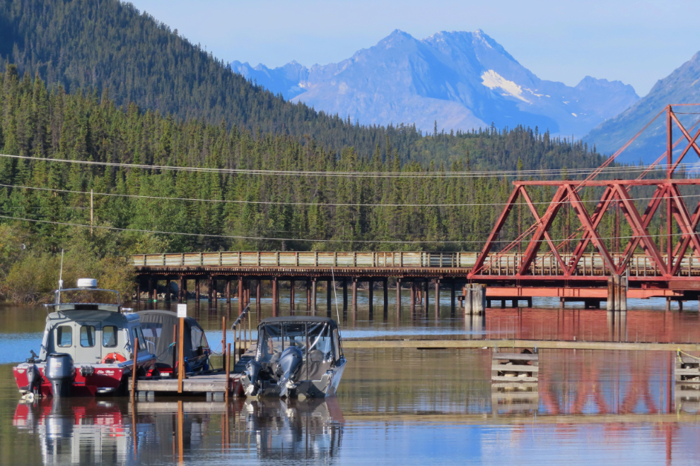
Crossing the bridge over the Nares River, the light was perfect so I parked and walked out onto the bridge to get a few photos.
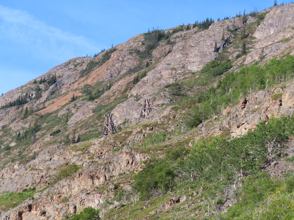
I pulled over just before Pooley Canyon to get more photos of the aerial tramway towers for the historic Vault silver mine that went along, across, and down into the canyon. They've survived for 120 years now, but it's impossible to say how long they'll continue to stand.
I keep an eye on the 1901 cabin at the earliest of the Venus claims. Last years extremely heavy snow did a lot of damage to it - I should probably hike up to get another record of its progress.

This is one of my favourite angles to see the Venus Mine.

I always enjoy this view. Some day perhaps I'll hike up to that cirque...
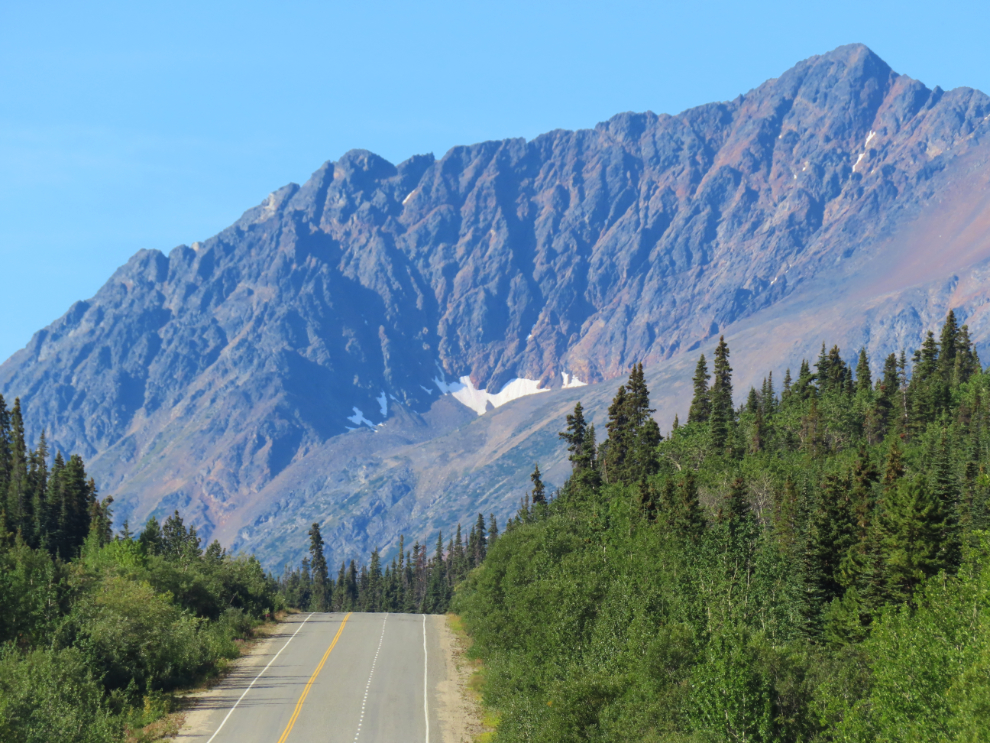
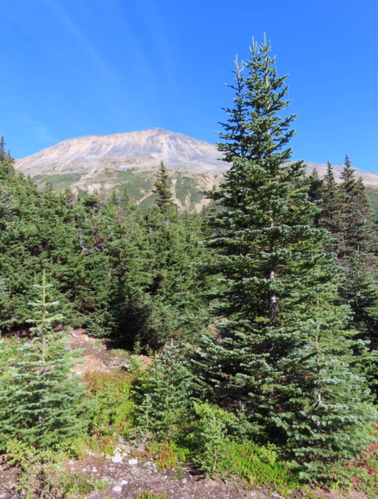
Nearing Fraser, I could see the start of my route. This mountain is officially identified as Taiya NE4, meaning it doesn't have a name but is 4 miles northeast of Taiya Peak, but it's commonly called Fraser Peak. The trail to Bryant Lake is in the valley on this side of it.
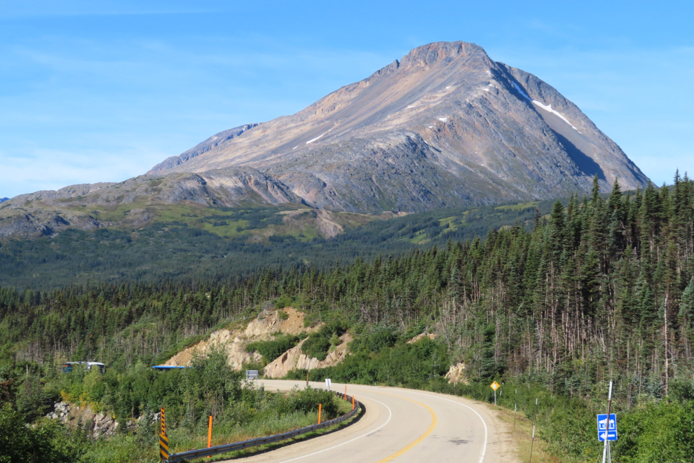
The next photo shows the start of the trail at the highway, at 11:07. There is plenty of parking, both along the wide shoulder and in a very large pullout on the opposite side of the road.
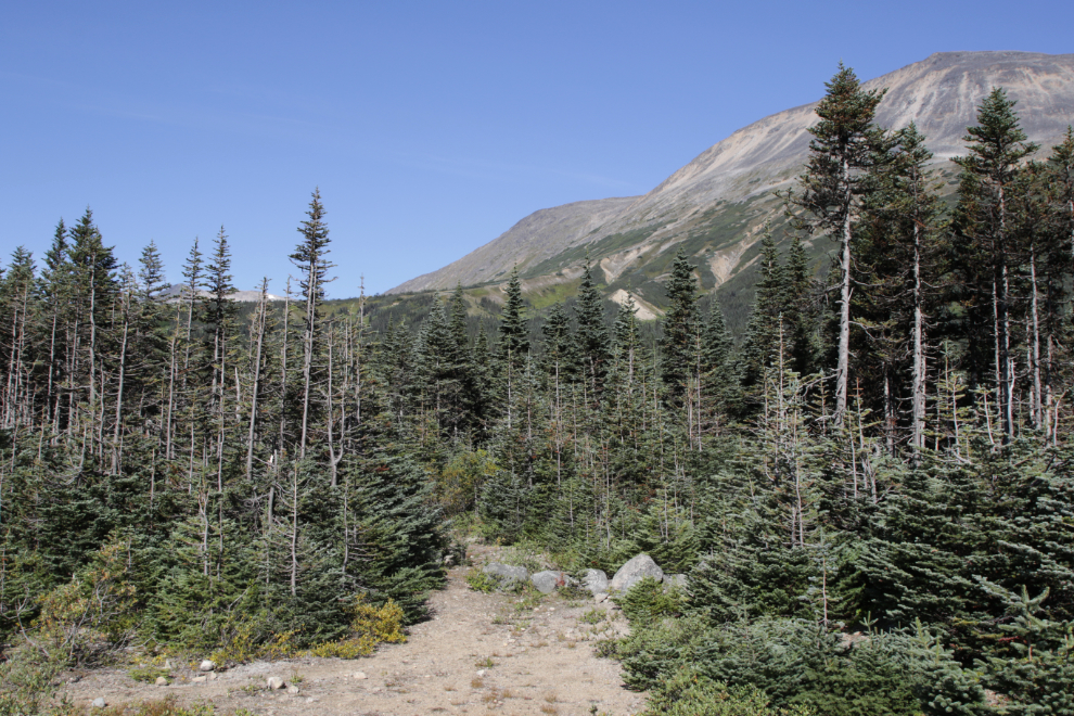
I really enjoy the fact that this trail starts off in a very healthy boreal forest then climbs into the alpine, providing an excellent look at both ecosystems.
A few minutes after leaving the highway, you come to a larger trail that connects with the Fraser Customs and Highways camp. Many people use that trail to avoid going through Customs. The signboard on the left has some Chilkoot Trail information - this has become a fairly popular route to the trail.

I've never understood this sign. The gate is indeed closed but is easy to walk around and I've never seen any sign of caribou nor have I seen anyone else reporting caribou.

It's pretty hard to beat the views on a day like this. The peak ahead is commonly called Fraser Peak.
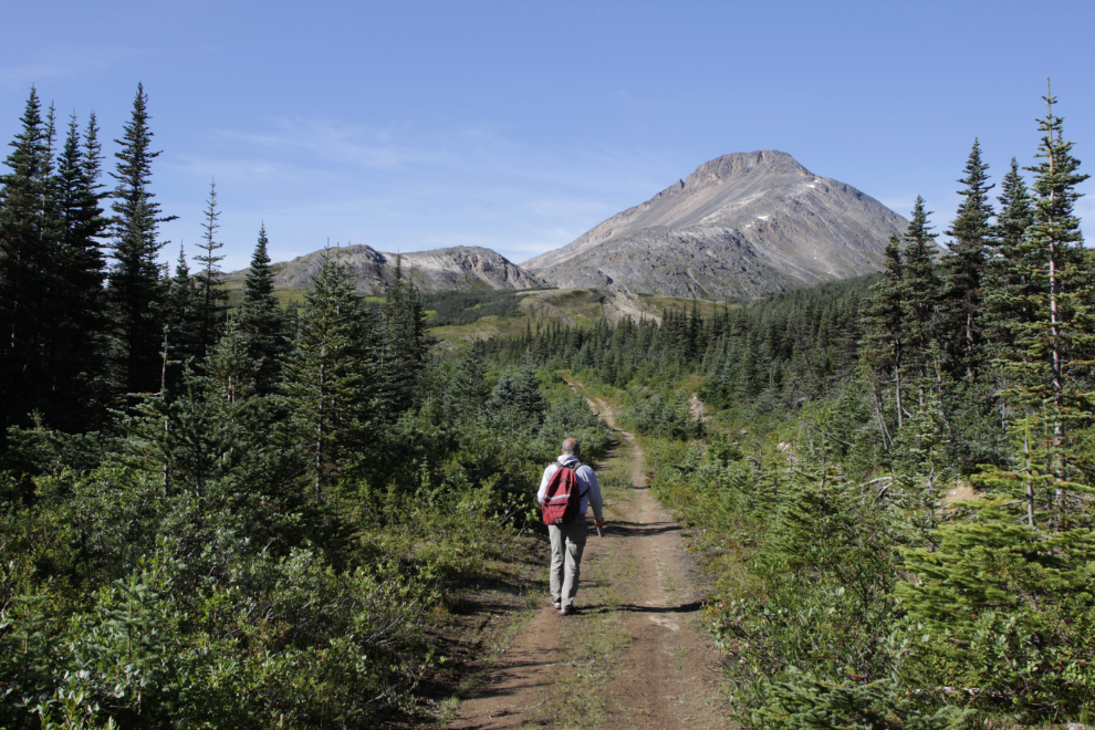
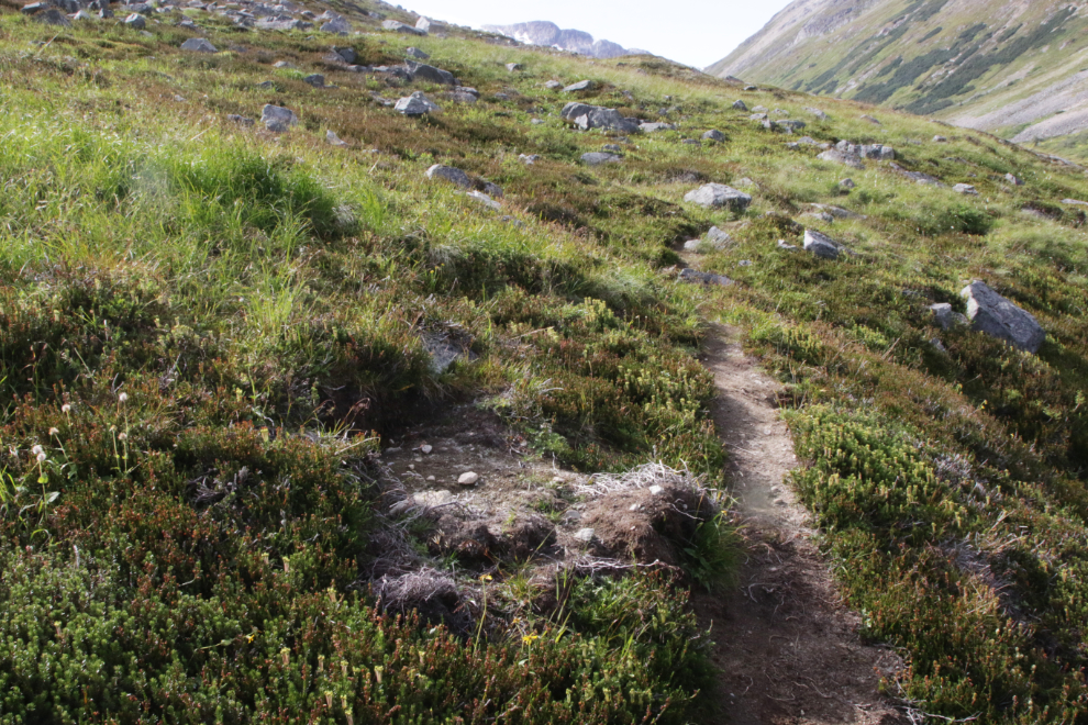
Looking back down the trail. I still had a can of bear spray in my hand - on this trail I keep it handy to treeline just before reaching the lake.

This is Alaskan burnet (Sanguisorba menziesii), also known as Menzies' burnet.

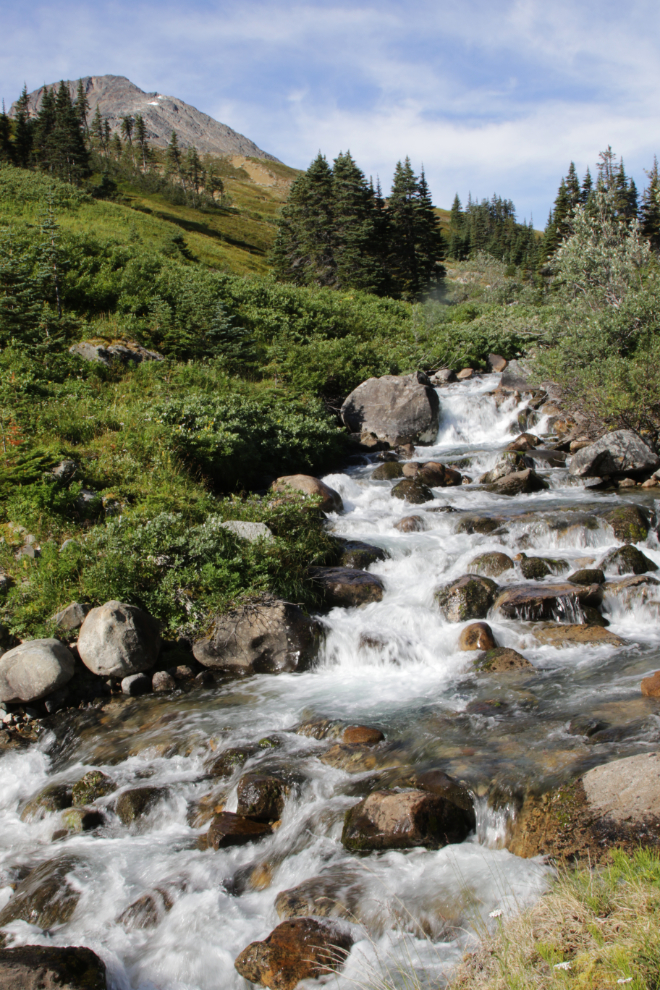
For me the creek adds tremendously to the experience of this part of the trail.
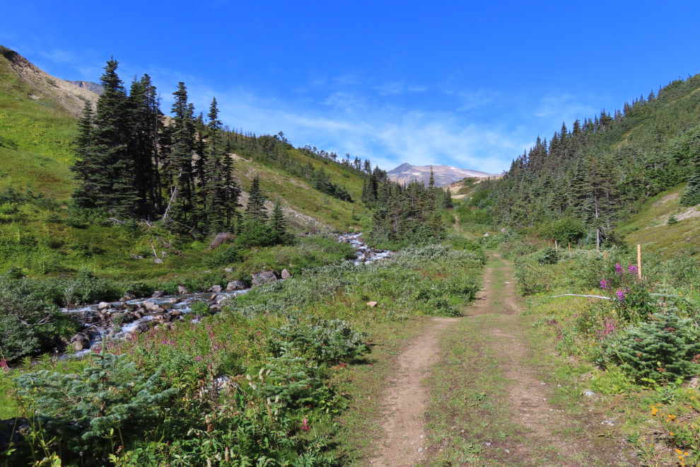
The wooden stakes installed by a winter-tour operator to mark the trail mar the view along what was a lovely section of the road.
The heavy work was required to do some water-diversion work on the uphill side of the road as well as to install a new culvert under the road.

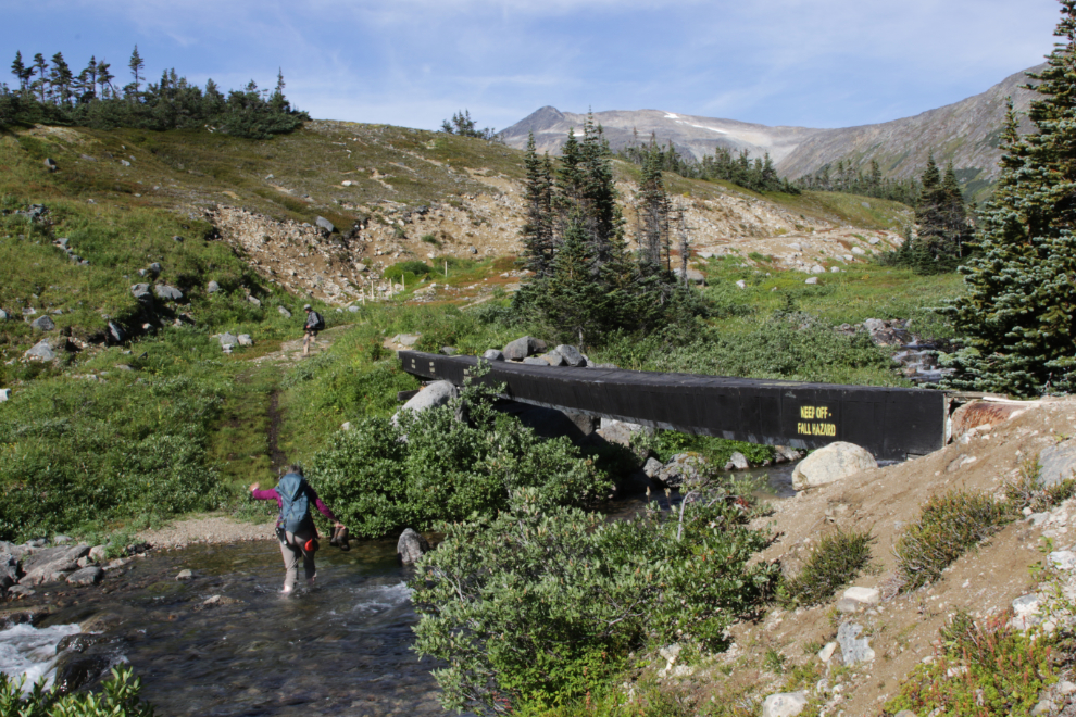
To get across the creek, some people walk along the slanting water pipe housing, as the fellow ahead of me did. Others, as his partner did and I always do, walk through the water.
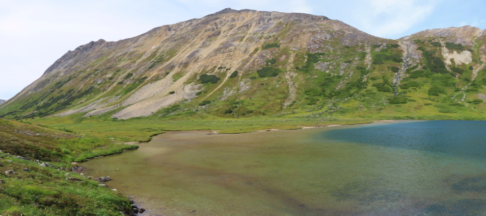
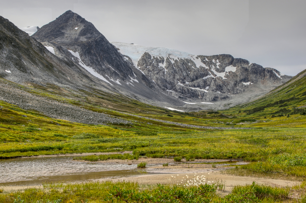
This is the panorama you see on arriving at Bryant Lake. Wow. This is as far as many people go apparently.

Seeing this photo makes me want to go back there today. That is some fine hiking.

Every part of the Green false hellebore (Veratrum viride), which is very common in moist alpine areas near the coast, is highly toxic to both humans and animals.

There were a few very wet areas on the trail along the lake.

If you look very closely in the wet areas, you may spot some tiny (2-10 mm in diameter) fungus in the genus Scutellinia, commonly known as an eyelash fungus.

There are two boulder fields to cross. These are the sections of trail that I really don't like.

I had initially thought that I might continue past the head of the lake, but it got colder and colder as I neared that point.
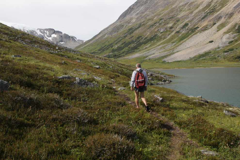
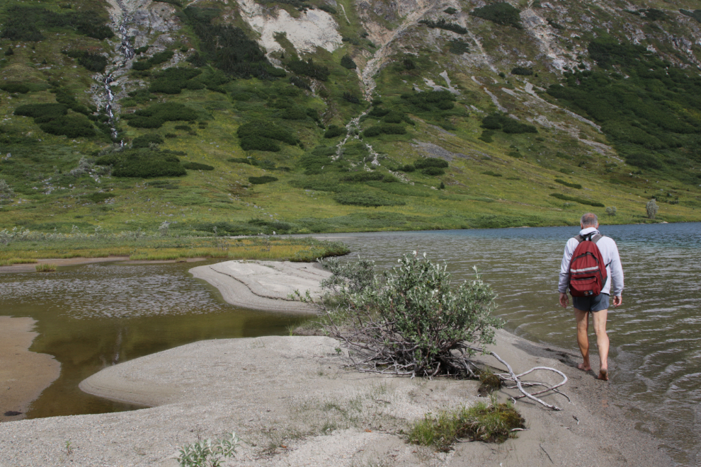
The head of the lake has a wonderful sandy beach, but though the shallow water there lets the glacial water warm up a little bit for a few weeks, the wind this day was far too chilly to matter.
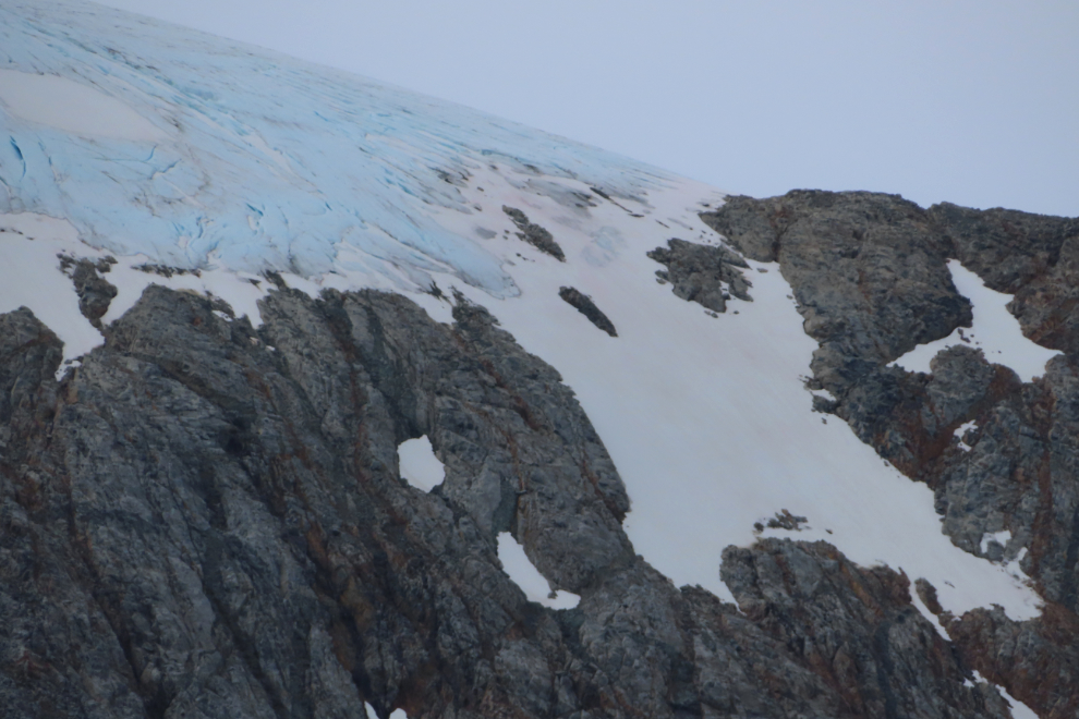
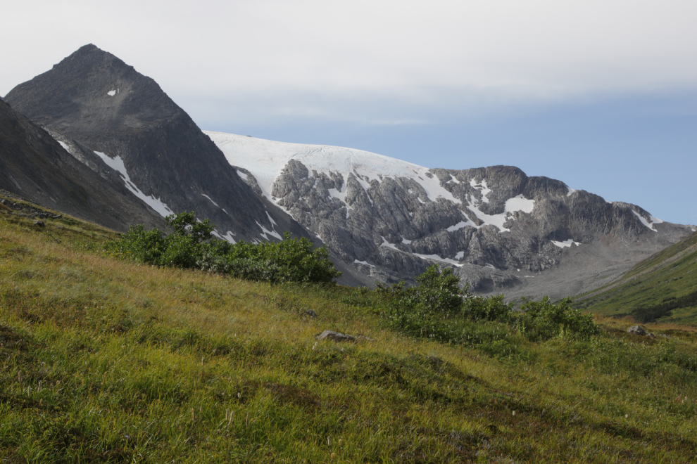
There's not much glacier left at the head of the valley.

The abundance and variety of flowers still in bloom at the head of the lake was very surprising.

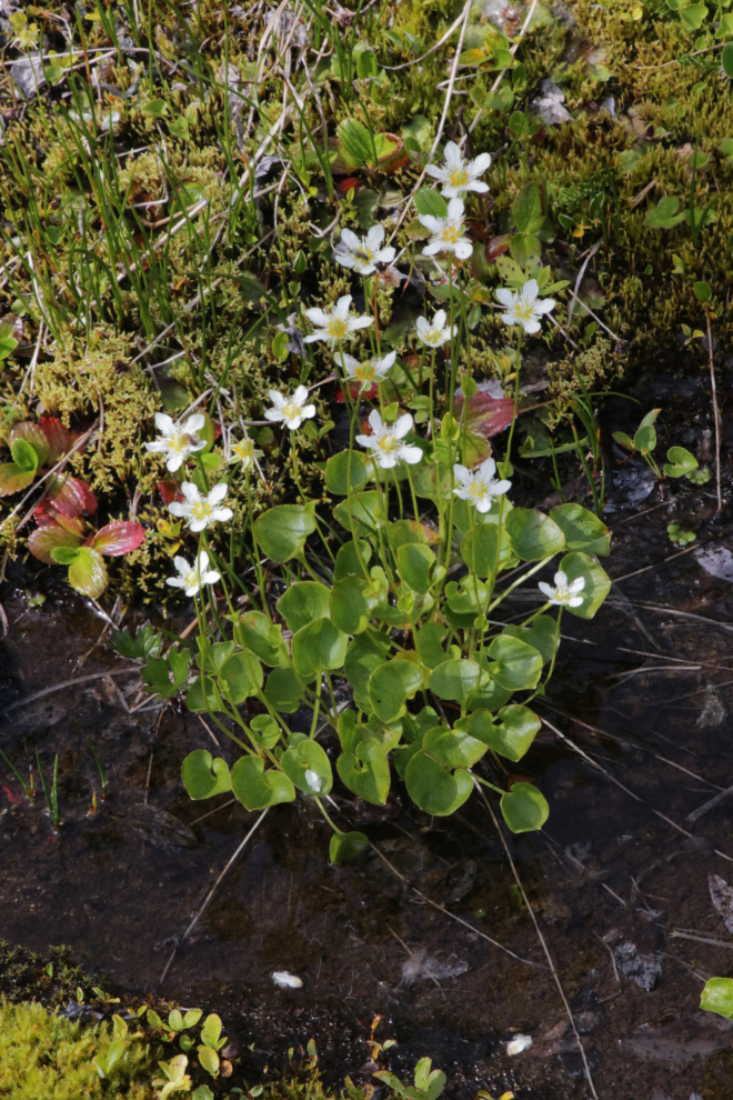
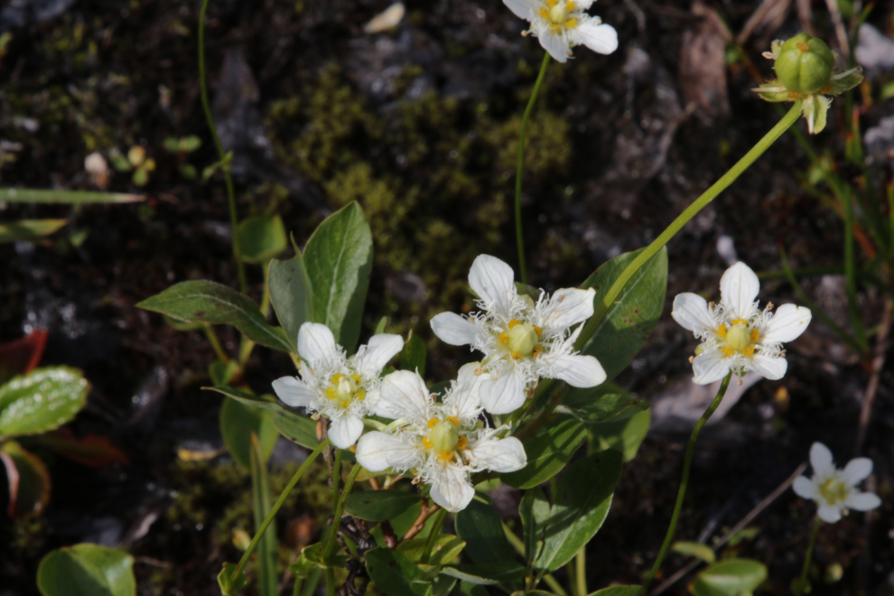
The Northern Grass of Parnassus (Parnassia palustris) isn't large but if you closely it's one of the most elaborate and delicate of the flowers.
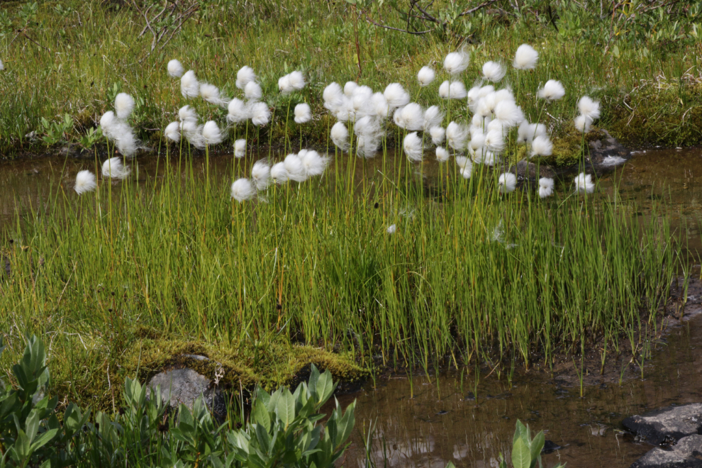
I always found when I was guiding tours that Arctic cottongrass (Eriophorum callitrix) was one of the two plants that visitors most wanted to stop and have a good look at (the other, of course, being fields of fireweed).
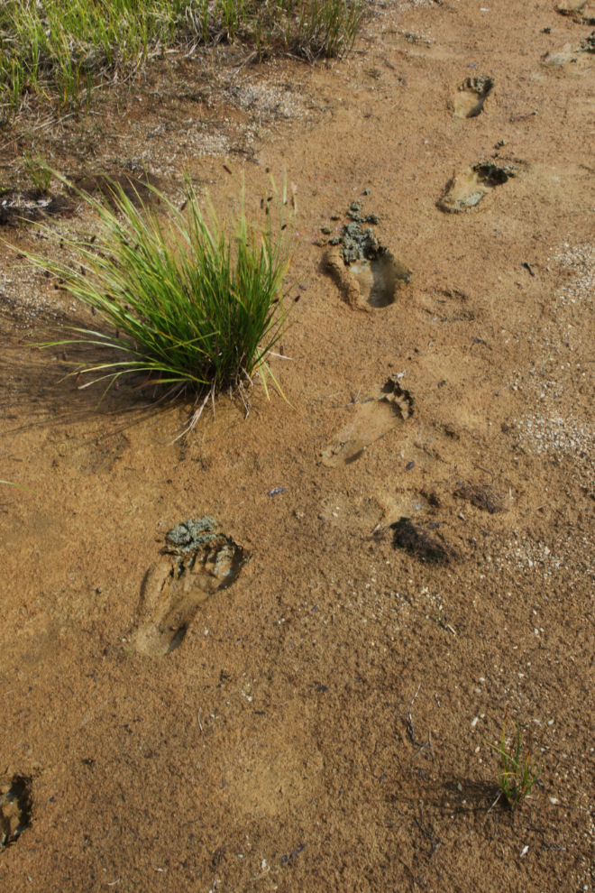
Ah, I love that soft glacial mud!
An enhanced look at the head of the valley, to bring out the glacier better.
I wanted to go for a dip so badly, but no, that wind was really cold.
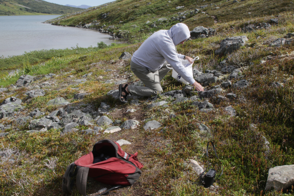
The amount and variety of flowers along the lake got me to thinking about a possible art project, and with an abundant variety of material to choose from, I spent quite a bit of time collecting material for ait.
A final look back at the remnants of the glacier.
I wonder whether the grizzly or the ground squirrel won this battle for survival.
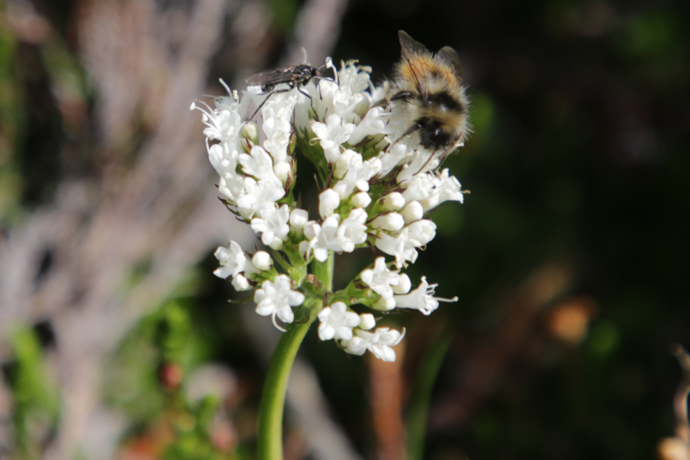
I lucked into a bee and another insect slowly working on the blossom cluster of a Sitka valerian. The chilly weather that caused them to slow down made photography much easier, and I spent quite a while with them.
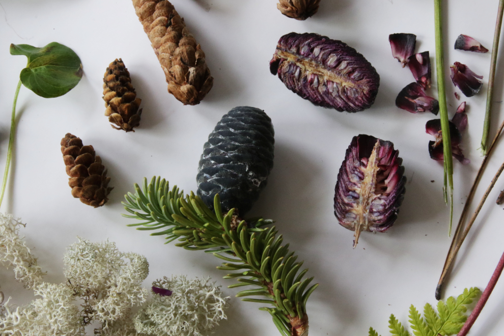
It took a very long time to find some good subalpine fir cones for my project - few trees had any, but they were one of the things I particularly wanted.

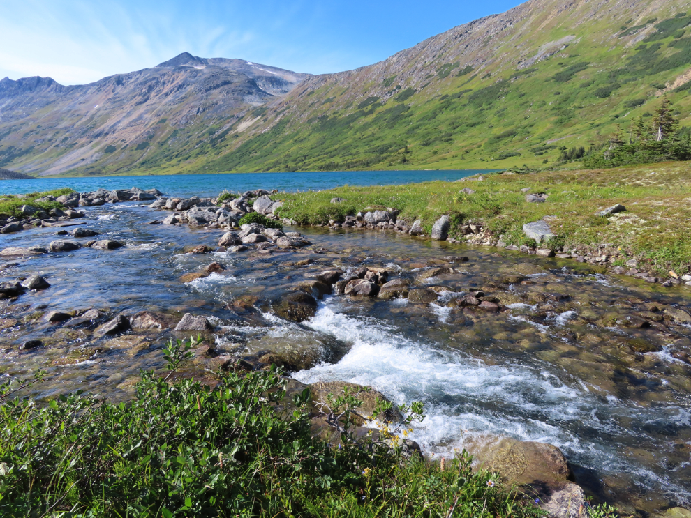
The creek flowing out of the lake provides some particularly fine photo ops on a sunny day.

The Fly agaric/Fly amanita (Amanita muscaria is very attractive but it's also very toxic and potentially dangerous if eaten.

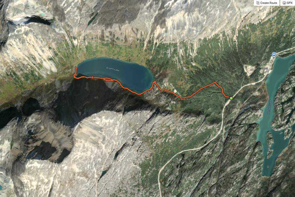
The hike ended up to be 10.51 km with 326 meters of elevation gain. You can see details and a larger version of this map on my Strava page.
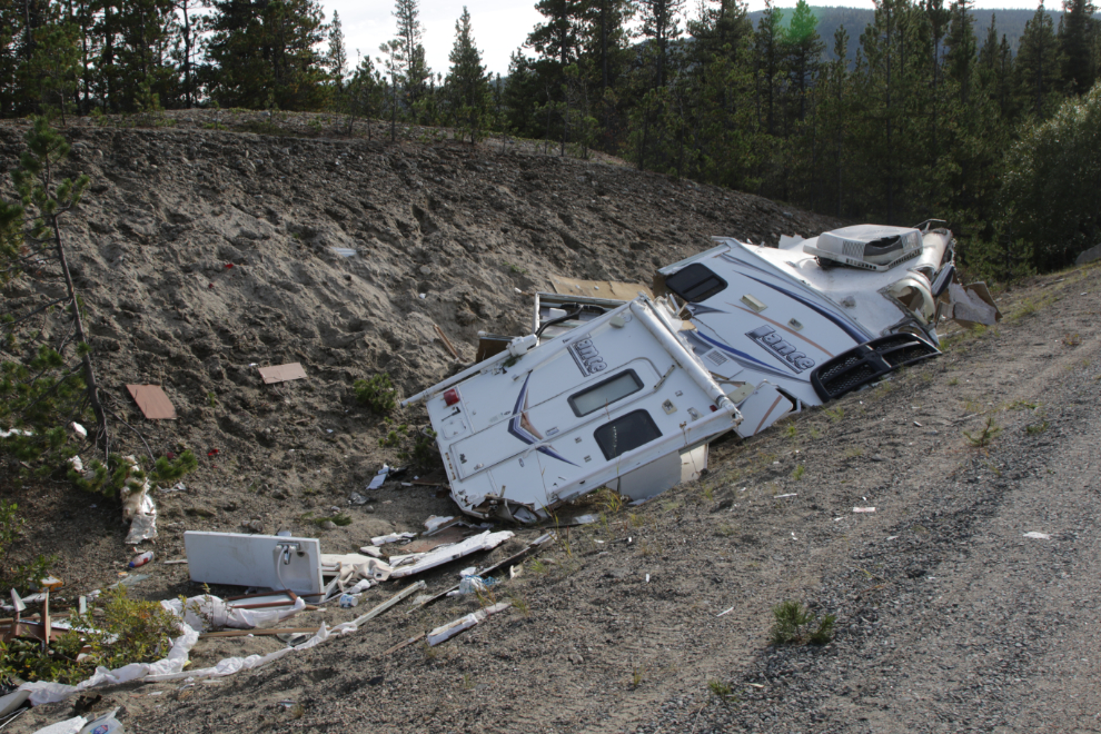
On the drive home, near the head of Tutshi Lake, I saw that somebody's holiday had come to a crashing end. I've heard nothing about it but I sure hope nobody was hurt.
This was my first nature mandala. I really enjoyed the process of collecting for it and then the creation, so I expect there will be more.

The subalpine fir cones are one of the elements of the mandala that I particularly like. The colours and the internal patterns are wonderful - it was a cone I saw on the Tutshi Lake mining trail hike 2 weeks ago that a squirrel had taken apart that alerted me to what's inside them.