
|





|
|
The Richardson and Denali Highways to Mount McKinley National Park
June 1966
Skip Larsen 1966 Travelogue
Dateline: October 1, 2024.
The photos of the Richardson and Denali Highways and Mount McKinley National Park below were shot on Kodachrome slide film by Skip Larsen during a 6-week trip through the Yukon Territory and Alaska in 1966 - see the link above for more information about that trip and many more photos from it.
We have posted 32 of the 90 photos in this part of the collection.
Click on each image to greatly enlarge it.
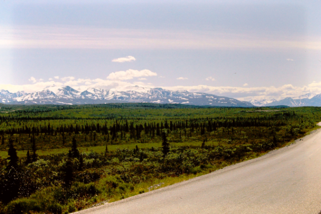
Driving south on the Richardson Highway, south of Delta Junction.
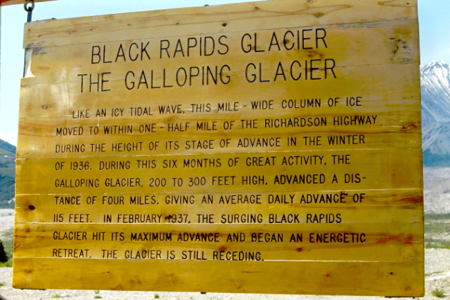
Mile 225: "Black Rapids Glacier, The Galloping Glacier
Like an icy tidal wave, this mile-wide column of ice moved to within one-half mile of the Richardson Highway during the height of its stage of advance in the winter of 1936. During this six months of great activity, the galloping glacier, 200 to 300 feet high, advanced a distance of four miles, giving an average daily advance of 115 feet. In February 1937, the surging Black Rapids Glacier hit its maximum advance and began an energetic retreat. The glacier is still receding."
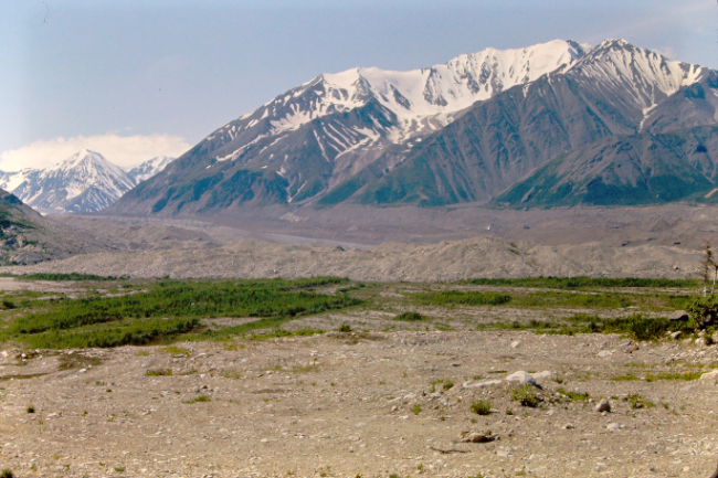
The debris field of gravel and ice left by the Black Rapids Glacier's retreat.
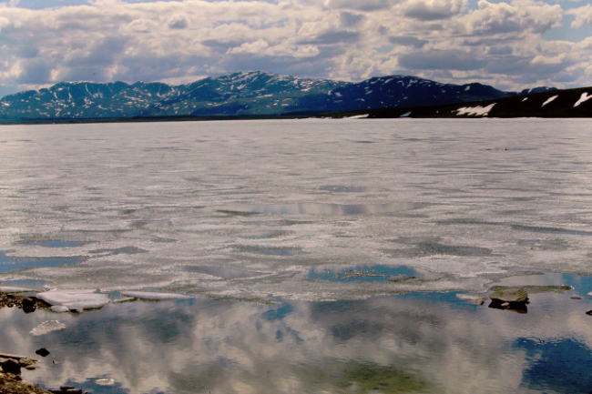
Summit Lake at Mile 195 was still mostly frozen.

An area of open water allowed the kids to play on the beach and ice.
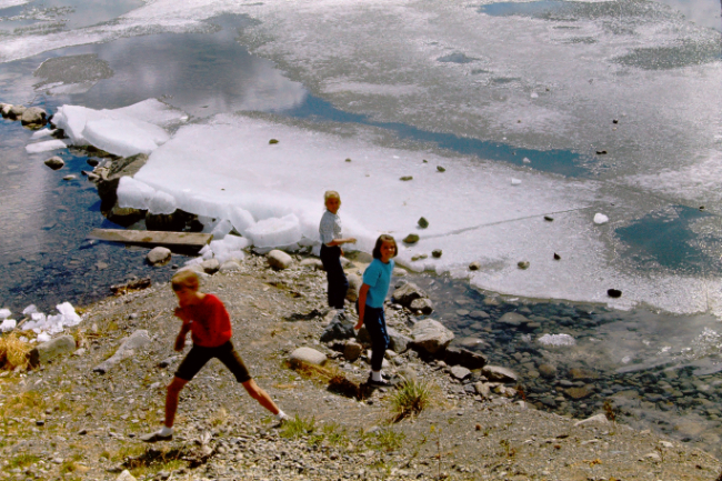
Having ice nearly a foot thick in June was a new experience.

At Paxson they turned off the Richardson Highway and headed west on the gravel Denali Highway, which had just opened in 1957 to provide road access to Mount McKinley National Park. The next overnight stop was the campground at Tangle Lakes.
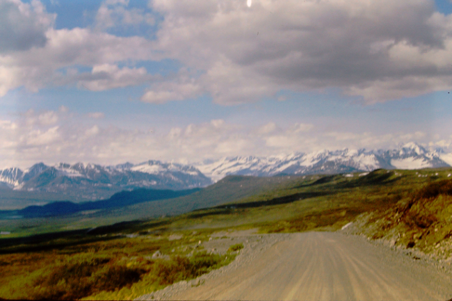
The view to the west from Maclaren Summit, at 4,086 feet the highest point on the Denali Highway and the second highest highway pass in Alaska.

Arriving at Mount McKinley National Park on a very wet day. That name for the park lasted from its creation in 1917 until 1980, when it became Denali National Park and Preserve. The mountain it was named for, however, wasn't changed to Denali until 2016.
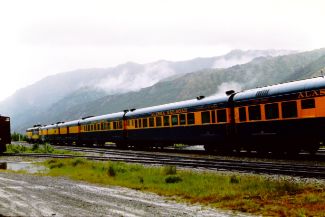
Until the Denali Highway opened, the Alaska Railroad had provided the only access to the park. A short detour to the train station was made, and Skip shot 3 photos of a train there.

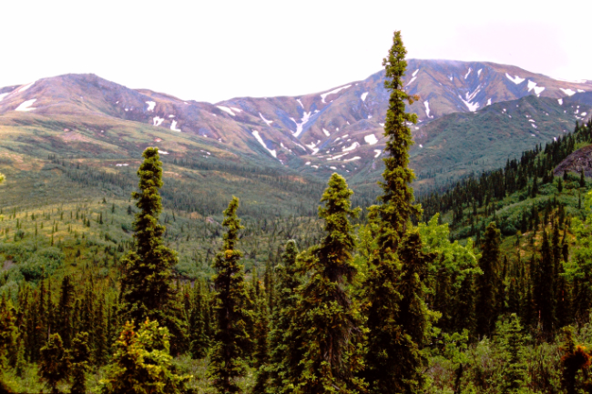
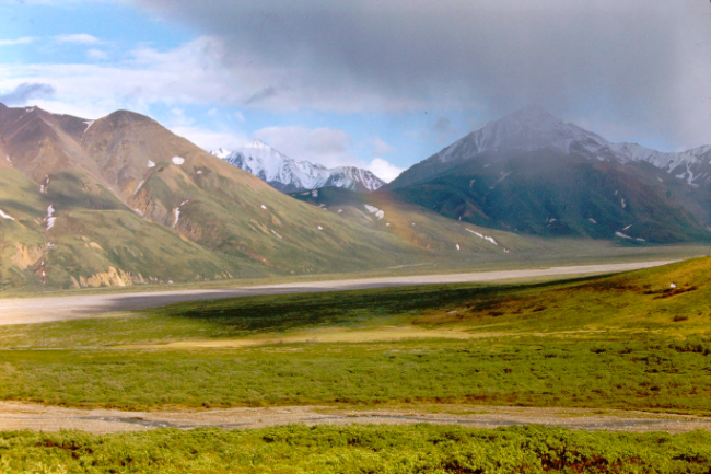
Starting up the gravel road that goes deep into the park. Luckily, the clouds were quite high despite the rain.
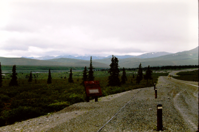
This may be the Teklanika River at Mile 30.
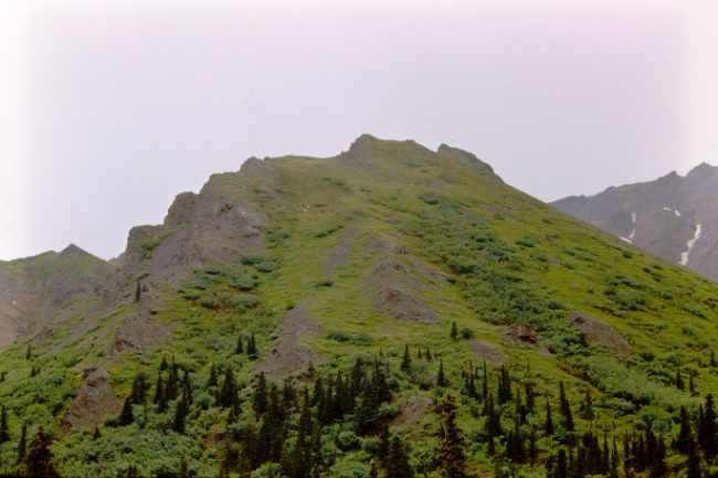
High on this peak, seven white Dall sheep could be seen.
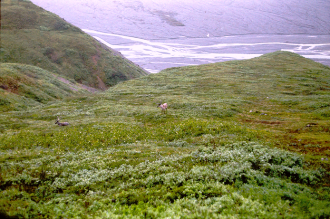
Deeper in the park, two caribou were seen below the road.

The campground at Wonder Lake was the destination in the park, and the date on the slides now changes to July. Skip's wife Gloria still remembers it was a long 85-mile drive to Wonder Lake. They stayed several days, and it was almost always overcast so they never got a clear view of Mount McKinley. The following March, Skip took two photos of magazine pages showing the mountain on sunny days, and added them to the slide trays.

A hike high above the Wonder Lake campground provided some broad views.

A look back down at the campground.
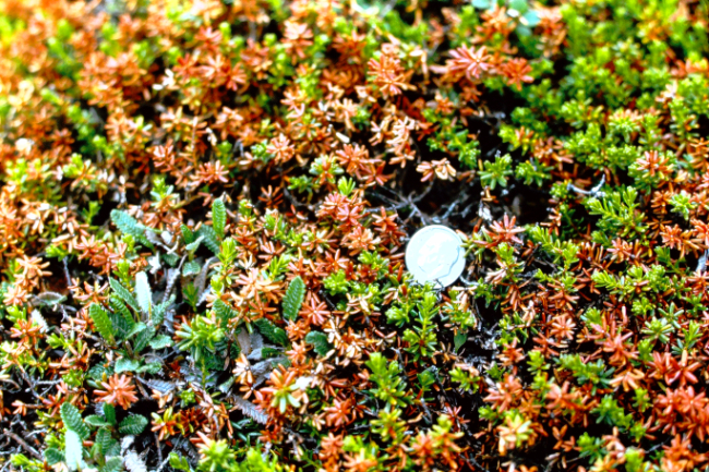
Skip took many photos of the tiny alpine flowers and other plants such as these crowberries at Wonder Lake, often including a dime for scale.
 < <
Finding a very cooperative pair of loons nesting along Wonder Lake resulted in 11 photos being added to the collection, of which we've included three here.

a href="/articles/larsen1966/images/CE-JUN66P4-RED-5.html">

Arctic ground squirrels no doubt provided lots of entertainment for both kids and adults.


A small beaver pond provided another excellent tool for learning about the wild residents of Mount McKinley National Park.

Fresh snow on the mountains was perhaps the trigger to leave the park and continue on their adventure.

On the 85-mile drive back out of the park, Polychrome Pass provided an excellent spot for both a broad view and a family photo.


On a clear day, this view from Stony Hill Overlook at Mile 62 provides one of the best views of Mount McKinley (Denali), but they had no luck even with their final opportunity.
A distant rain shower provided a bit of a rainbow, and they were soon back on the highway.
|

|
