NAS Kodiak, built between September 1939 and 1944 as the main forward operating base for the defense of Alaska, was commissioned on June 15, 1941. The facilities during WWII included an airfield with several hangars, a seaplane base for a fleet of Consolidated PBY Catalinas, and a submarine base. NAS Kodiak was defended during the war by Army bases Fort Greely and Fort Abercrombie. On April 17, 1947 the Coast Guard Air Station was commissioned as an Air Detachment at the navy base with 1 PBY Catalina aircraft, 7 pilots, and 30 crewmen.
None of the photos in this collection were captioned, and this page can be considered to be a work in progress. Information is being gathered from many sources, including comments from readers. Any information about any of the images will be gratefully received - email me at yukonalaska @ gmail.com (remove spaces, of course).
In May 2024 I received a lengthy email from Jennifer Hansen of Kodiak, with information about many of the photos. This sort of email, helping us keep ExploreNorth as accurate as possible, is greatly appreciated. Jennifer's comments are in italics.

An aerial view of the Coast Guard's Kodiak Island Air Station, shot by U.S. Coast Guard, SPC Jeff Parks on January 1, 1989. The highest mountain is Barometer Mountain, which got its name because you can look at its peak to predict what the weather will be in a few hours. Barometer sits right at the end of the state airport runway, and the only road between the base and town runs between the mountain and the end of that runway. So whether you are in the plane or not, landings and takeoffs tend to be dramatic!
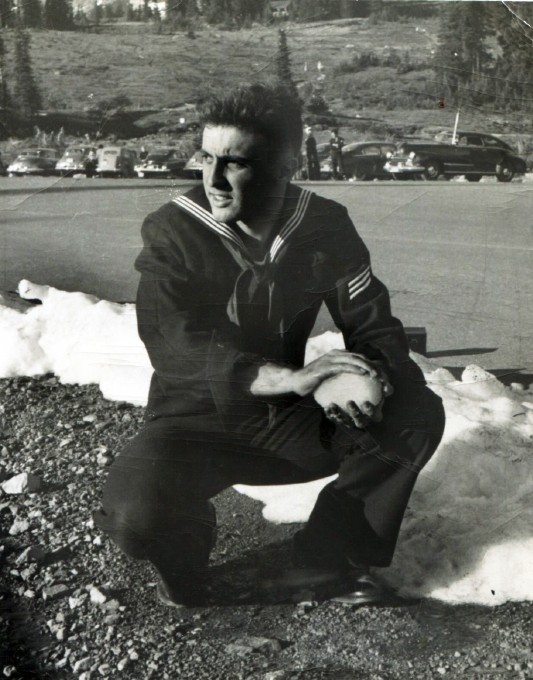
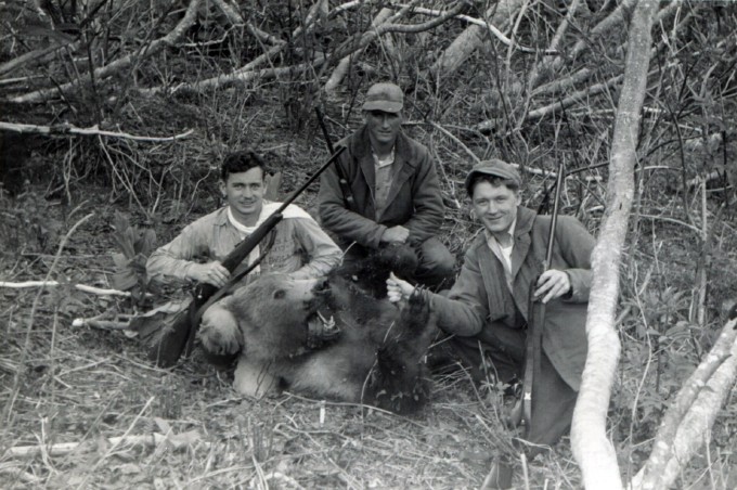
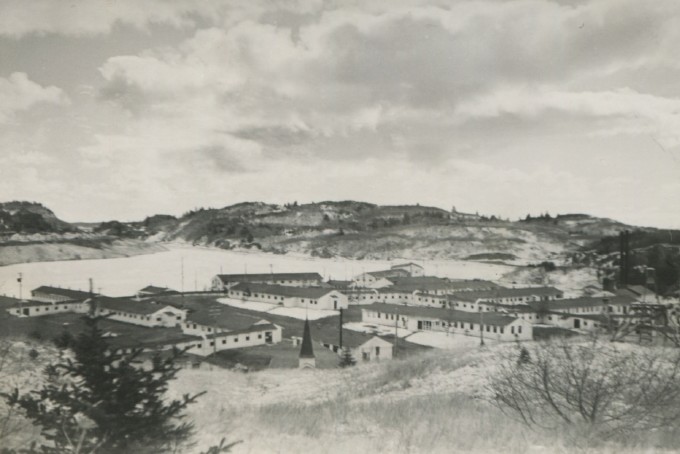
I don't think this photo was shot in Kodiak. The trees are too spindly, probably mainland black spruce. Kodiak has pure stands of Sitka spruce that spread out their branches very widely.
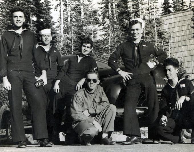
This may be of some place on the mainland.
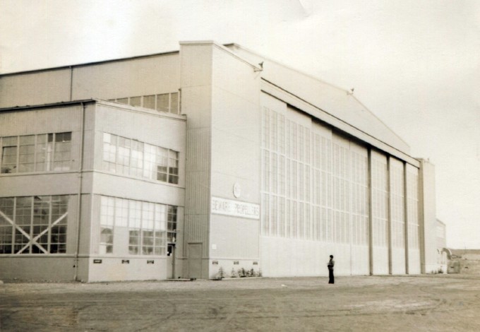
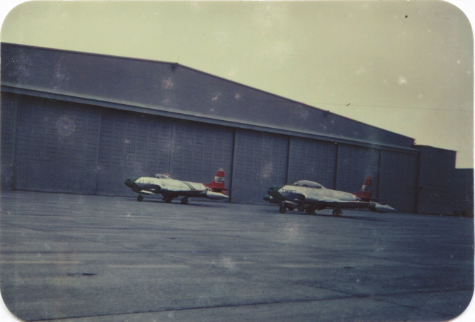
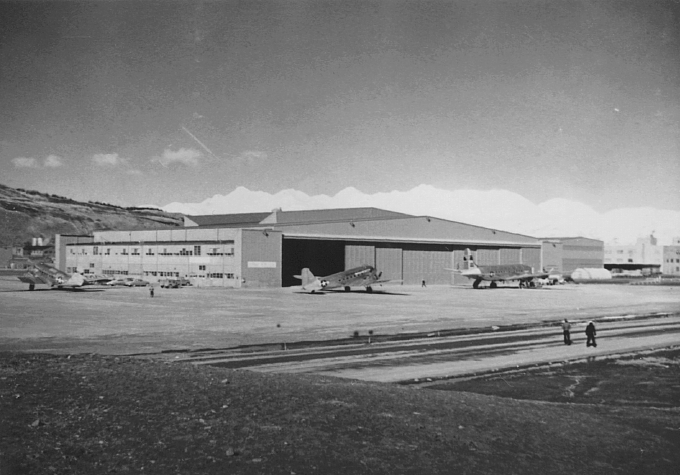
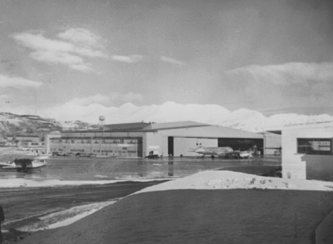
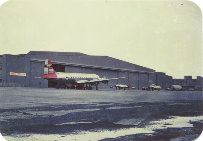
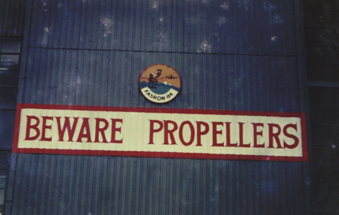
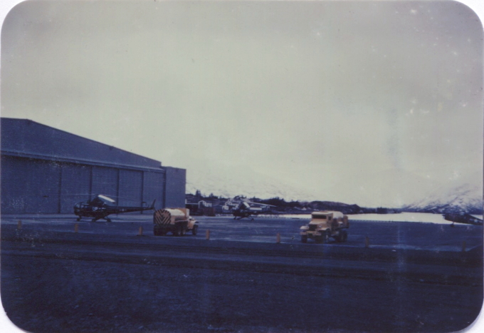
The FASRON 114 hangar.
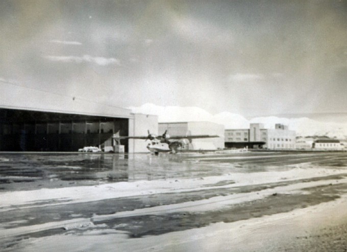

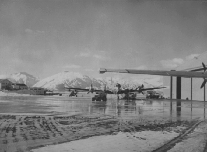
Above and below, Grumman JRF-5 Goose serial number B-79, USN registration BU37826. It was sold to the French Navy in July 1951, and written off following an accident at Phnom-Penh, Cambodia, on March 6, 1954.


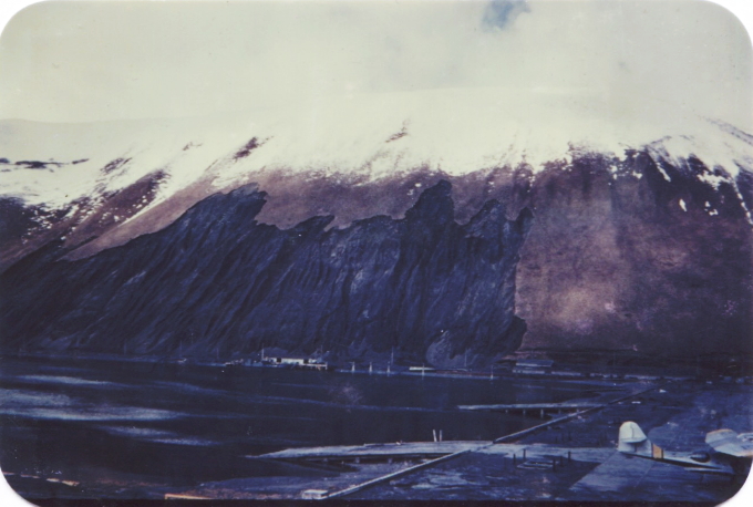
Old Woman's Mountain is in the background. The massive landslide scar shown in the photo is much diminished but still there. Note that much of the naval base and air station were built on fill and are only a few feet above high tide line.




Barometer Mountain is in the background.

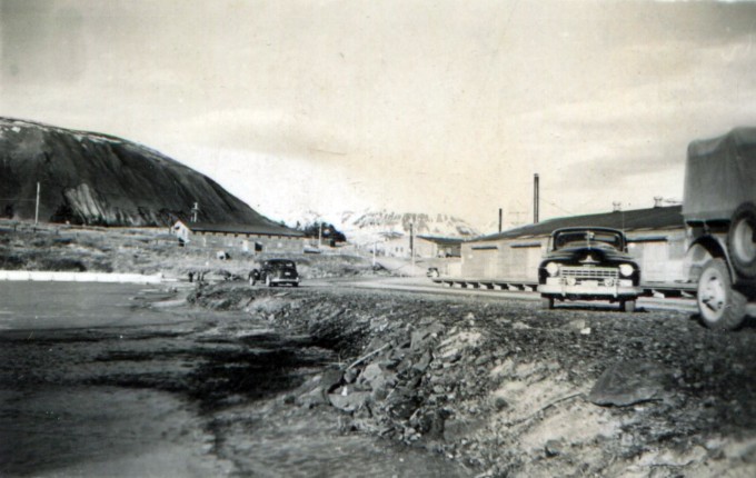

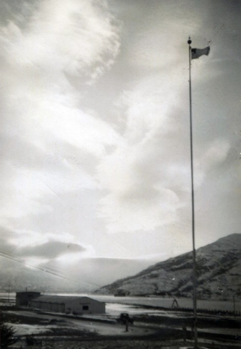
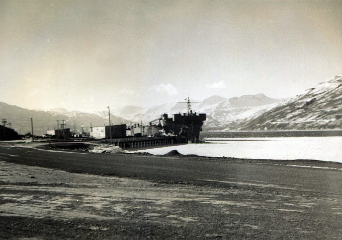



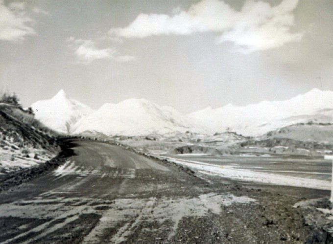
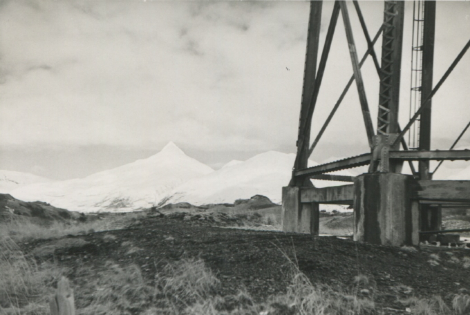
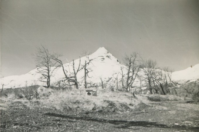
The mountain on the left is Pyramid Mountain, for obvious reasons! I have been racking my brains trying to figure out where in the heck that road is. My husband's best guess is that it is an old military road that is closed off by a gate now and overgrown with grass and brush. If that is true, the white streak on the lower right is the road that turns off to the right just before you get to the state airport. That road used to be the access point for bunkers and barracks that were sprinkled all over the place in that valley. Now you can't go see what's left, because nobody is quite sure where all the old munitions are. However, the main road is open to the public. It runs past a bunch of half-overgrown concrete pads, a couple of which still have decrepit buildings on them of the right vintage for this photo. Further on you get to a Coast Guard antenna farm, and a ways beyond that is the Bear Valley Golf Course, which is run by the MWR. (It is understood that bears always get to play through.) The road climbs to the shoulder of Pyramid Mountain and an MWR ski chalet, then goes over a pass toward Anton Larsen Bay, where there are some homesteads and a boat landing. It gets narrower and bumpier as you go, petering out at a clearing in the woods. I believe that the entire road is of WWII vintage.


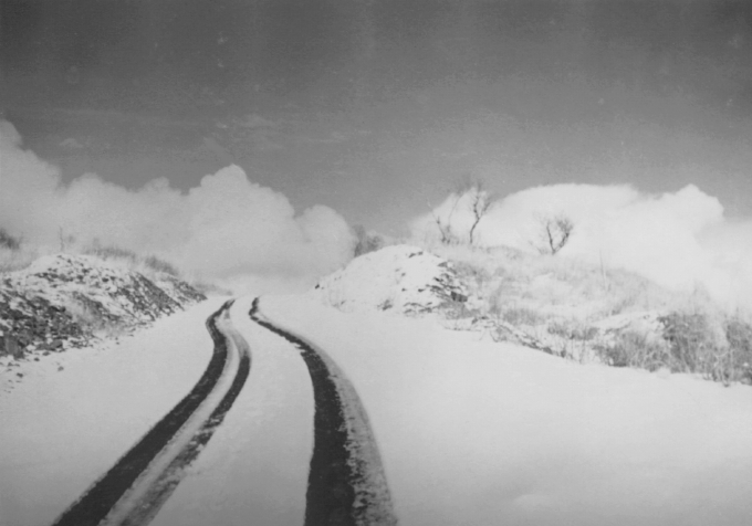
This may be the pass by Pyramid, but there is not enough detail to tell for certain.
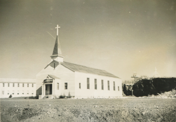
Above and below, Star of the Sea Chapel.
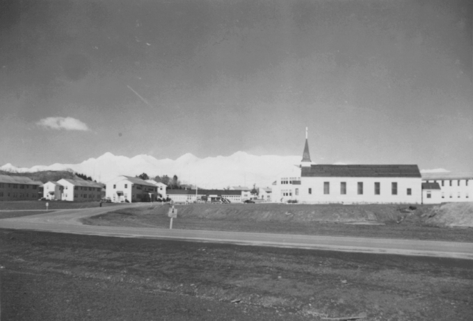
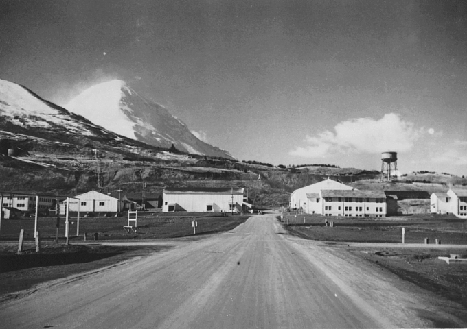
Barometer Mountain is informing anybody who looks that it's blowing like hell up there and will be down below soon if it isn't already. Based on the snow cover I think that this is in early spring (late April?), so the lowlands have warmed, but then there was a fresh fall of powder that stuck to the high slopes.

The range of low mountains/steep hills in the background is to the northeast-ish of the base. The base-town road (West Rezanof) is on the other side of the houses in the distance.
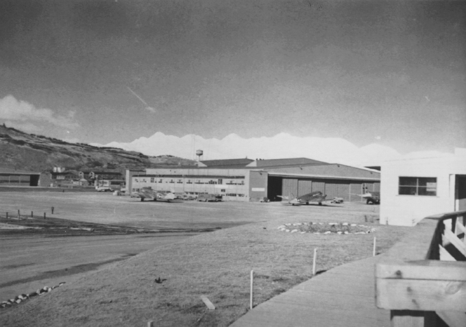

This photo is interesting because, if it was taken where I think it was taken, many of the features in it abruptly disappeared on March 27, 1964. A massive quake struck this region and this part of the island sank about five feet; then there was a tsunami. The built-over island in the middle distance is still there, sort of, but the structures on it are completely gone. The beaches are gone. The old military road down by the water is still there but it has barnacles on it now. A new road has been built higher up. I think that is Old Woman's Mountain on the left, so the base and air station are hidden behind a peninsula at its foot. Those are wild rose bushes in the foreground.
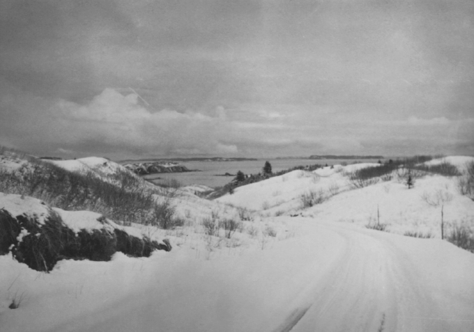
I think this photo is from somewhere "out the road," as we say - past the naval base and the setting of the photo above, headed out toward the Chiniak airstrip over about 40 bumpy, dusty miles (partially paved now). You can see on the left where some blasting was done to make room for the road because on the right there is a steep-sided valley, and so it goes all the way out. Brave man to drive on that road in those days at that season.
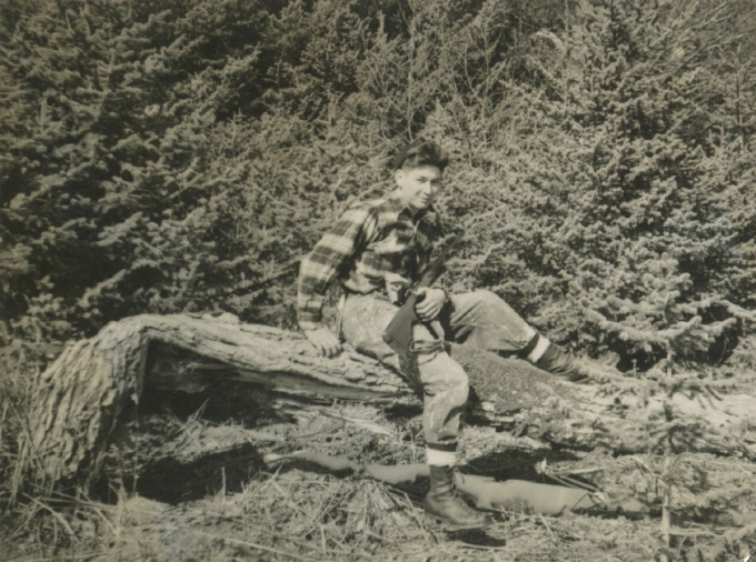
This is definitely either Kodiak or someplace very close to it on the mainland - still in big bear country. Look at those trees.


Another gorgeous view of Barometer Mountain.
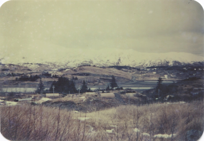
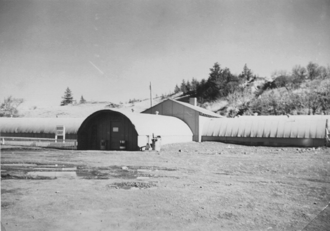
It's hard to tell but I think that's Barometer Mountain on the left. In that case this is in that valley that runs up to Pyramid Mountain. The road you can see in the distance is closed, and so is the one from which the photo was taken; the open road is probably behind those trees near the Buskin River; Buskin Lake is jsut visible in the background on the right. The Quonset huts in the middle distance are long gone.

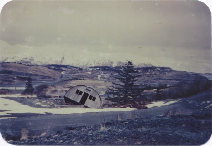
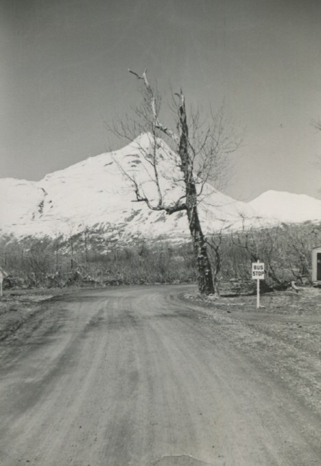
I think this is also "out the road," somewhere low down - note the big old cottonwood tree. Bus stop? A school bus stop maybe? Families have always lived out a ways and sent their children to school in town since the road was built. Note the three-sided bus shelter just visible on the right.

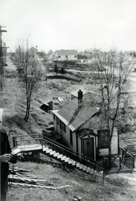
I can't place this photo. The trees look like Kodiak but the streets are completely confusing. A village off the road system maybe?

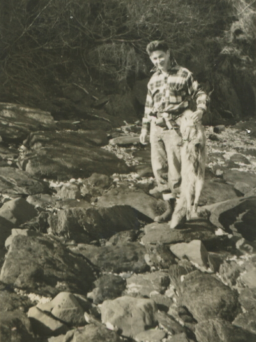
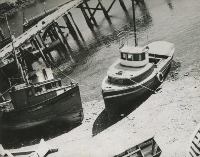
Fishing at the little beach next to the hangar on base.

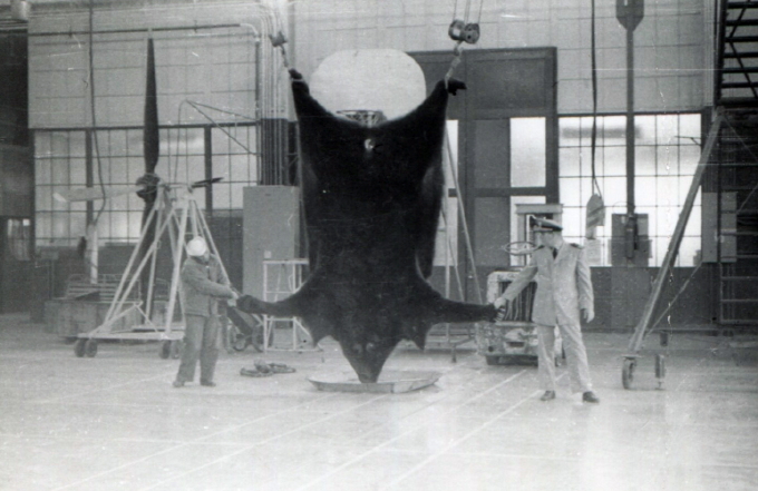
Back in the valley of the Buskin again. That sure looks like a big antenna on the right.
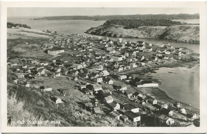
Some vanished landmarks. There is now a harbor with a breakwater where the L-shaped beach is in the photo. Most of the buildings within a couple blocks of the water are gone; the new town stands on fill that was brought in because buildings that survived the tsunami were on the new high tide line. The photographer is standing on Pillar Mountain, looking roughly southeastward; the road out to the base runs diagonally through the picture, Near Island is just across a narrow channel from town. Beyond it lies Woody Island. BTW, if I am right about the appearance of the Russian Orthodox church at the edge of the Near Island Channel, this photo has to be from 1943 or earlier. The current church, which was built in 1945, has two "onion" domes.although I do not know whether they were that way from the start; the church you can see in the photo has two "rising flame" finials instead.


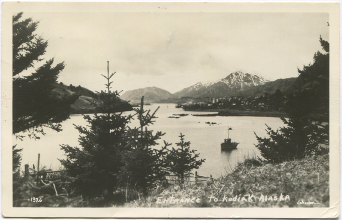
Shot from Woody Island, I believe. You can clearly see Barometer, with a rain-eroded coat of either early- or late-winter snow; the low bumpy shape on the left is Old Woman's.
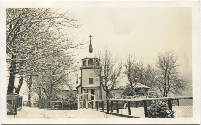
May be Holy Resurrection Orthodox Church in Kodiak - again, either from before the fire in 1943 or after but they put the domes on later. Note the vigorous Sitka spruce trees and big old cottonwoods; I think this is from before the fire. Beyond the femce on the right would be the Sargents' old place and Erskine House, formerly the Russian Magazin and now the Kodiak History Museum; where the Sargents' house stood (also where the photorapher is standing) is now Sargent Park, which is maintained as a community open space, the last green place in town where kids can just run around the way they did in the old days. Mission Road runs just to the left of the fence around the church.
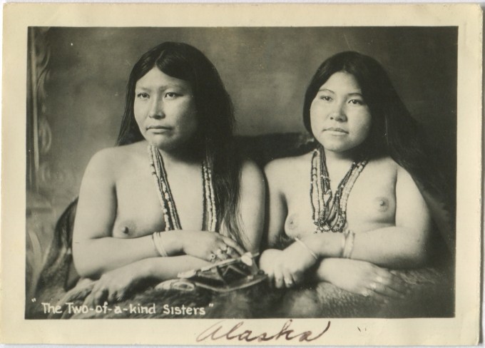
Something about the facial features suggests Alaskan Athabaskan, therefore mainlander. The outer strands of beads they are wearing are probably red glass and white glass or bone; the dark strands might be Russian blue beads. The old beads are still very highly prized, especially the cobalt blue Russian ones. You may be looking at a couple grand worth of beads all told!
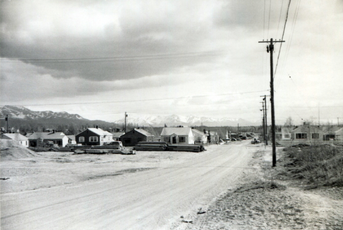
Anchorage
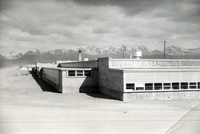
Anchorage
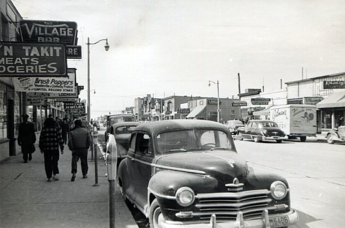
Anchorage
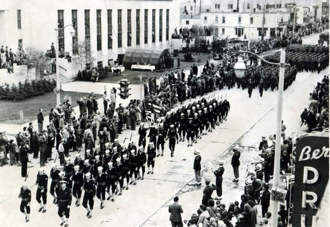
The large building behind this parade in Anchorage is the Federal Building (605 West 4th Avenue). Designed in the 1930s Modern style, it is cast-in-place reinforced concrete, with a flat roof and parapet. Opened in 1940, it was the first large federal building constructed in Anchorage, providing residents with a post office, courthouse, and other federal services. Today, it houses the Alaska Public Lands Information Center, and is listed in the National Register of Historic Places.







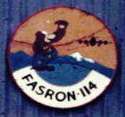 Except for the first one, the 78 photos below are from an album of 215 photos that I bought on eBay in about 2001. They were shot or collected by an unknown serviceman who was a member of the United States Navy's FASRON 114 Fleet Aircraft Service Squadron at Naval Air Station Kodiak in 1949-1950.